

Tropical Storm Ramil is expected to make landfall over Northern Samar by Saturday noon or in the afternoon, according to the latest weather advisory from the Philippine Atmospheric, Geophysical and Astronomical Services Administration (PAGASA).
In its 11 a.m. bulletin, the weather bureau said Ramil will likely move in a west-northwest or northwest direction after “a brief west-southwest movement.”


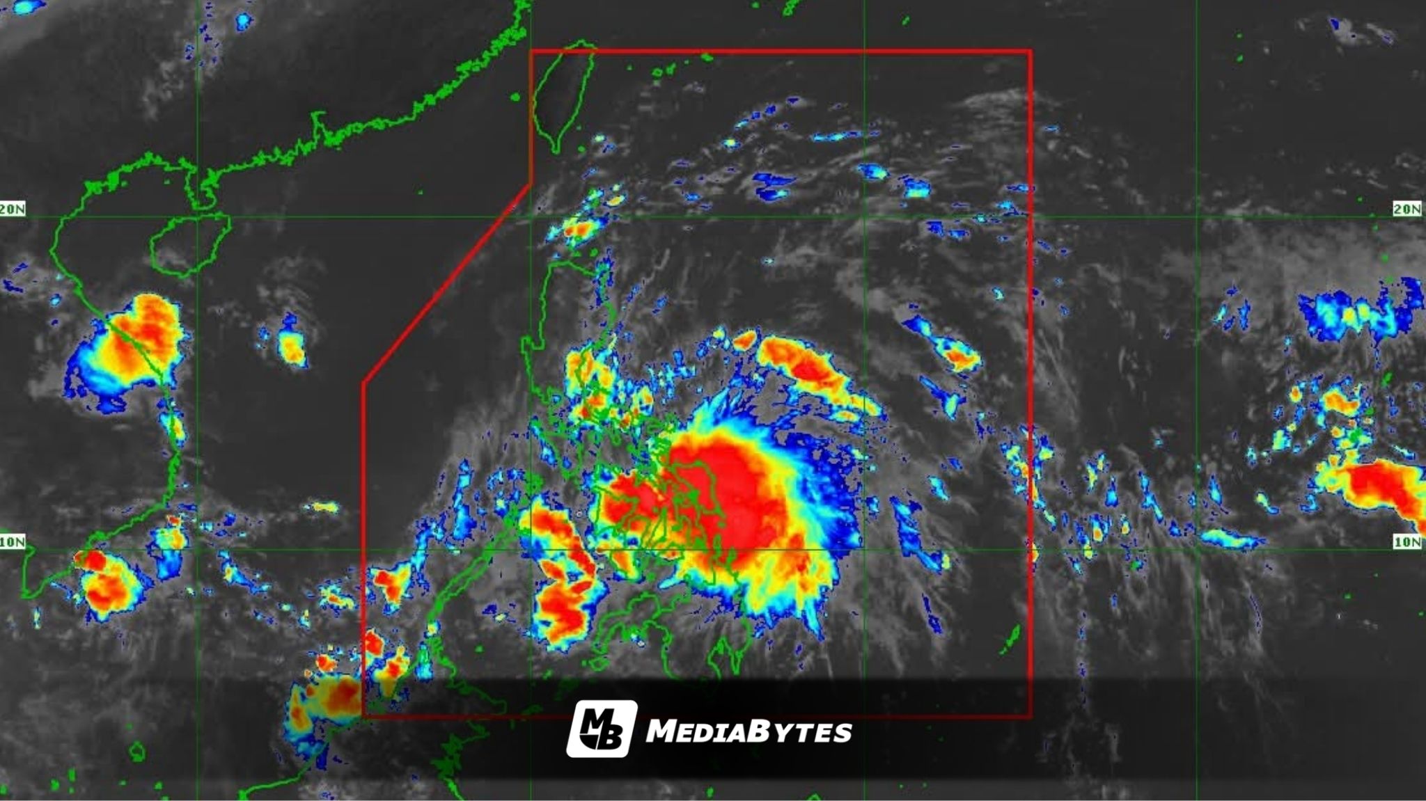
As of the latest monitoring, Ramil’s center was spotted over the coastal waters of Palapag, Northern Samar, carrying maximum sustained winds of 75 kilometers per hour (kph) and gusts reaching up to 90 kph. The system was moving west-southwest at 20 kph.
“The center of Ramil may make landfall or pass close to Northern Samar around noon or early afternoon, then over Catanduanes in the afternoon or evening,” PAGASA reported.
Earlier forecasts showed Ramil could approach or make landfall over Catanduanes by Saturday afternoon or evening. However, PAGASA said there is now an increasing chance that the storm might instead cross Albay or Sorsogon, as it continues to track west-northwest, passing near the mainland Bicol Region and the Polillo Islands.
The agency added that Ramil may make another landfall over Aurora Province on Sunday morning or afternoon, though a possible shift could bring it toward Northern Quezon or Southern Isabela.
PAGASA emphasized that “a northward or southward shift of the track could result in a different landfall area,” meaning residents in nearby provinces should remain alert for changes in the storm’s movement.
The tropical storm is forecast to retain its current strength or slightly weaken as it moves across land, affected by “frictional effects of the landmass” while traversing Northern Luzon.