

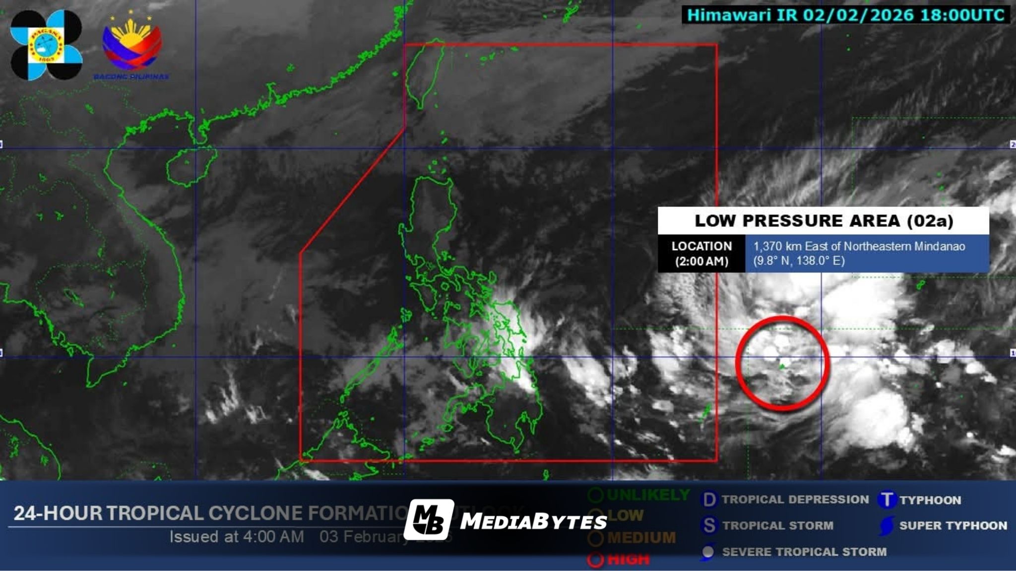
A low pressure area (LPA) east of Mindanao, still outside the Philippine area of responsibility (PAR), has a high chance of developing into a tropical depression within the next 24 hours, the Philippine Atmospheric, Geophysical and Astronomical Services Administration (PAGASA) said Tuesday.
As of 3 a.m. on February 3, the weather disturbance was located about 1,350 kilometers east of northeastern Mindanao and is not yet affecting any part of the country. Once it enters the PAR and develops into a tropical cyclone, it will be given the local name Basyang.
According to PAGASA, the system may move west-northwest and pass between the Visayas and Mindanao before heading toward Palawan later this week.
“Posible itong kumilos (pa-)west northwest at dumaan sa pagitan ng Visayas at Mindanao patungo sa Palawan starting Thursday (February 5) hanggang weekend,” weather forecaster Chenel Dominguez said during PAGASA’s early morning broadcast.
She warned residents in potentially affected areas to prepare for possible heavy rainfall.
“Pinapaalalahanan natin ang mga kababayan natin sa Visayas at Mindanao – maghanda po tayo… sa paulan na dala ng sama ng panahon,” Dominguez added.
PAGASA noted that rains from the developing system could trigger flooding and landslides, especially as parts of Visayas and Mindanao are already experiencing rainfall due to the shear line.
On Tuesday, the shear line is expected to bring moderate to heavy rains over most of Eastern Visayas and northern portions of CARAGA.