

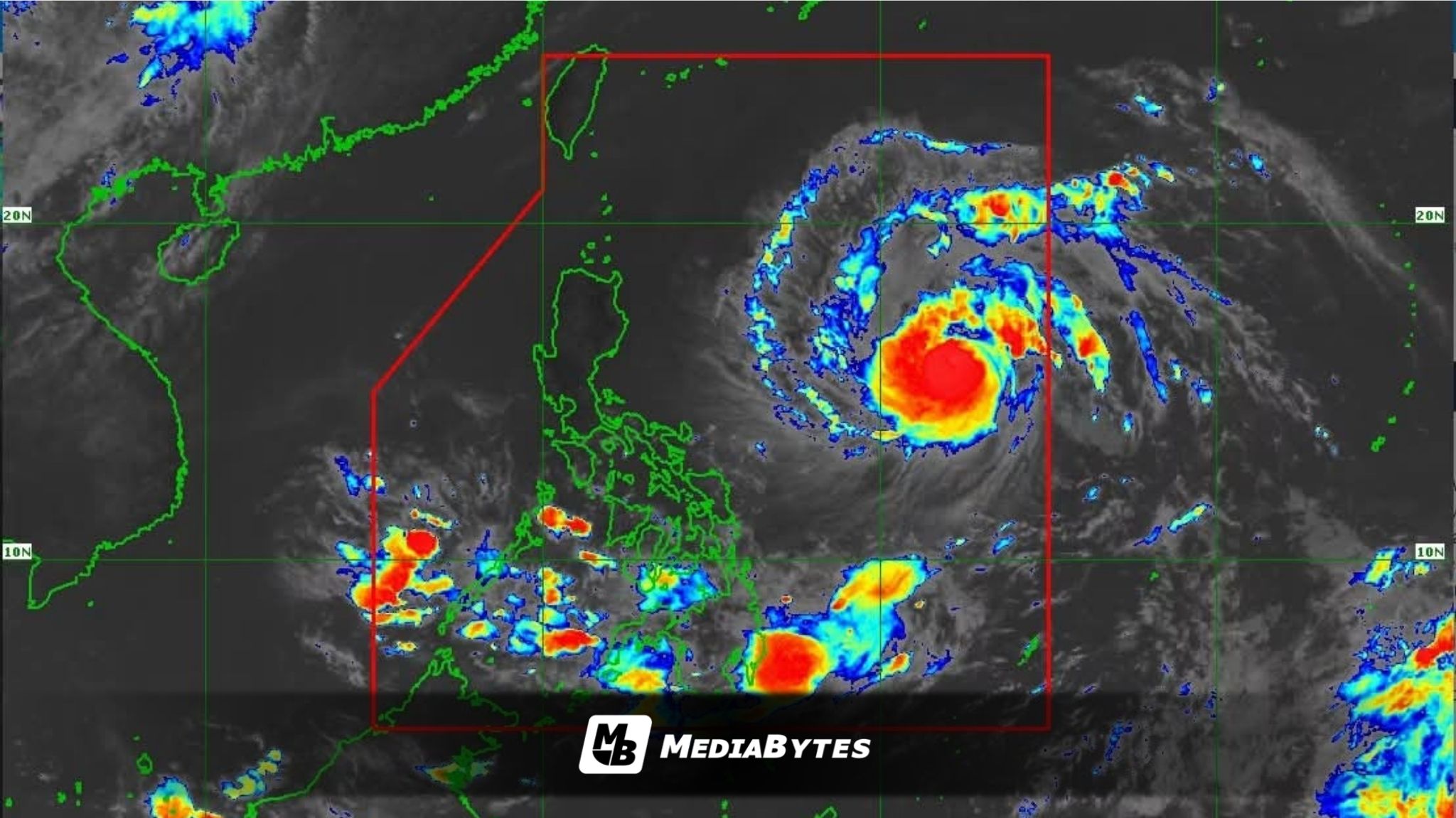
Severe Tropical Storm Francisco is rapidly gaining strength and is on the verge of becoming a typhoon, the Philippine Atmospheric, Geophysical and Astronomical Services Administration (PAGASA) reported in its 11 a.m. weather bulletin on Sunday.
The state weather bureau located the center of the storm approximately 1,170 kilometers east of Southeastern Luzon.
As it tracks across the ocean, the storm is packing maximum sustained winds of 110 kilometers per hour near its center, with wind gusts peaking at up to 135 km/h.
While the storm remains far off the coast, forecasters warned that its interaction with seasonal weather systems could bring heavy downpours across parts of the country starting Monday, June 22.
“Enhanced Southwest Monsoon, or ‘habagat,’ could begin bringing heavy rainfall starting Monday, June 22,” PAGASA warned.
Residents in the northernmost parts of the archipelago are advised to prepare for strong winds. The weather bureau indicated that early warning signals may be triggered as the weather system approaches.
“Tropical Cyclone Wind Signal No. 1 may be raised by Monday morning over some areas in the northern and eastern sections of Cagayan, including the Babuyan Islands and Batanes, as ‘Francisco’ continues to move and strengthen,” PAGASA added.
Disaster response agencies and local government units in the threatened regions are advised to continuously monitor official updates as the severe tropical storm intensifies further over the Philippine Sea.