

The southwest monsoon, locally known as “habagat,” alongside a low-pressure area (LPA 06d) spotted east of Mindanao, is set to bring wet weather to various regions of the country over the coming days, state weather bureau PAGASA announced on Sunday, June 28.
According to PAGASA weather specialist Obet Badrina, the habagat is projected to cause overcast skies, scattered rain showers, and thunderstorms across the Ilocos Region, Zambales, Bataan, Occidental Mindoro, and Palawan within the next 24 hours.
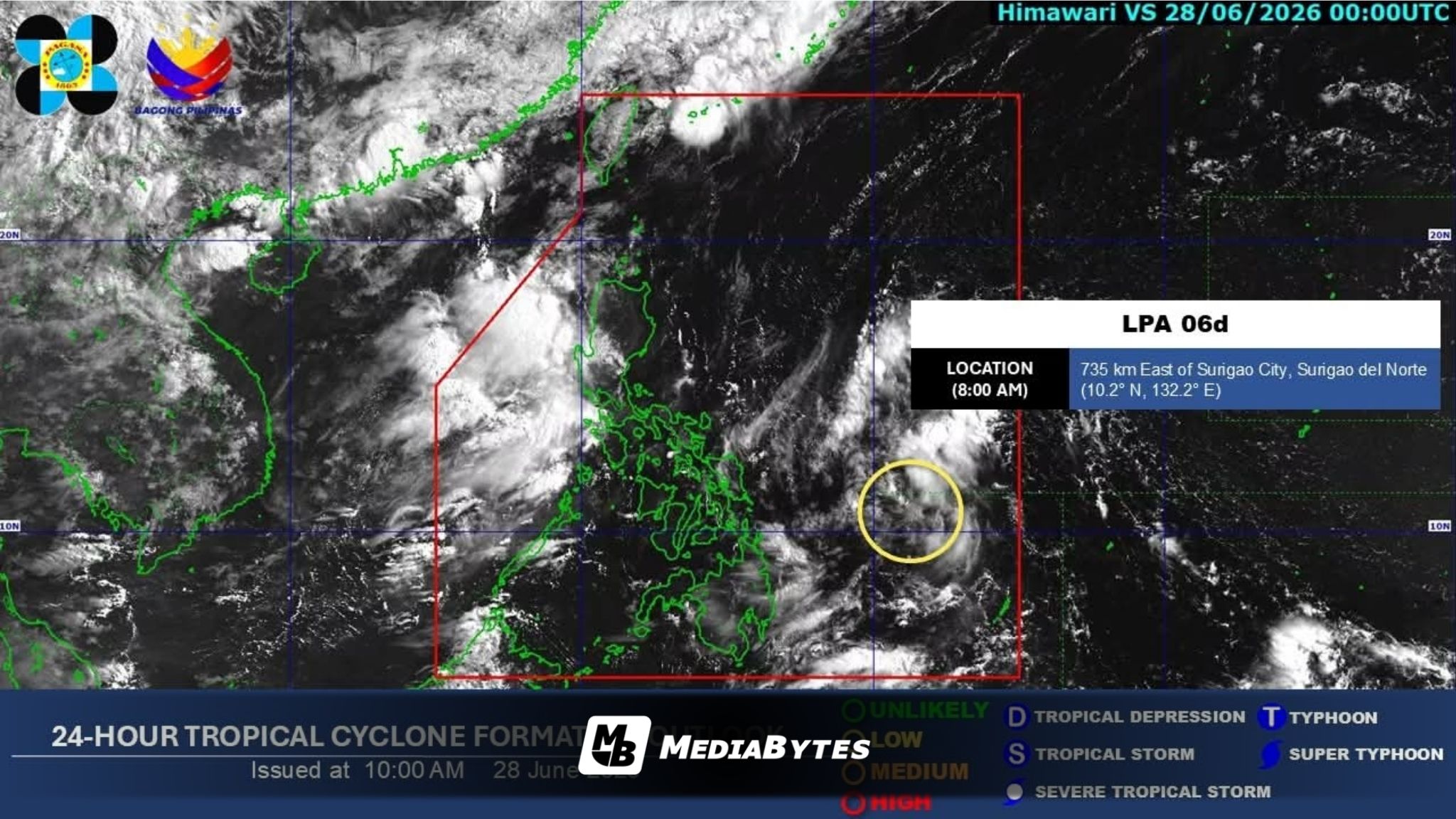
Simultaneously, LPA 06d was tracked approximately 890 kilometers east of northeastern Mindanao at 3 a.m. on Sunday. The weather disturbance is heading west, bringing cloudy weather, scattered rains, and thunderstorms to the Davao Region, Caraga, and Eastern Visayas.
“Bagamat hindi natin inaalis ‘yung posibilidad na puwede po ito maging bagyo sa mga susunod na araw, pero at least in the next 24 hours medyo maliit pa ‘yung posibilidad na ito ay maging bagyo,” Badrina said.
Badrina noted that while the LPA travels westward, it could potentially intensify into a tropical cyclone after cutting across the central part of the archipelago.
From Monday to Tuesday, June 29 to 30, PAGASA forecasts cloudy conditions with scattered rains and thunderstorms over Mindanao, the Visayas, and Southern Luzon, including Metro Manila.
By Wednesday through Thursday, July 1 to 2, the habagat is expected to shift its impact, bringing similar rainy weather to the western portions of both Luzon and the Visayas.
Residents living in the affected zones are urged to stay alert for potential flash floods and landslides, as rainfall could range from moderate to heavy.