

Warm winds from the Pacific Ocean, known as the easterlies, are set to bring scattered rains and thunderstorms to the eastern portions of Central Luzon, Southern Luzon, and the Visayas today, Friday, July 3.
According to the Philippine Atmospheric, Geophysical and Astronomical Services Administration (PAGASA), this weather system will specifically cause partly cloudy to cloudy conditions alongside isolated downpours in the Bicol Region, Eastern Visayas, CARAGA, Aurora, and Quezon Province.
Meanwhile, Metro Manila and the remaining parts of the country can expect generally fair weather with partly cloudy to cloudy skies. However, localized thunderstorms may still trigger brief, isolated rain showers in these areas.
The state weather bureau cautioned the public that severe thunderstorms could potentially cause sudden flash floods or landslides, particularly in low-lying and susceptible communities.
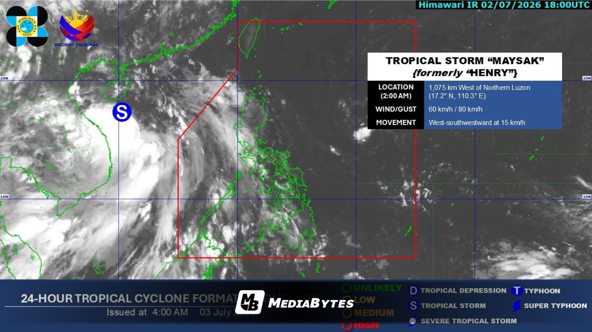
Farther away, an international tropical cyclone continues to track away from the country. Tropical Storm Maysak (previously named “Henry”) is currently maintaining its course outside the Philippine Area of Responsibility (PAR).
Located 1,095 kilometers west of Northern Luzon as of 3:00 a.m., the storm has maximum sustained winds of 60 km/h and gusts reaching up to 80 km/h, moving west-southwest at a speed of 15 km/h.
PAGASA confirmed that the weather disturbance poses no immediate threat and will not directly impact the country’s current weather conditions.