


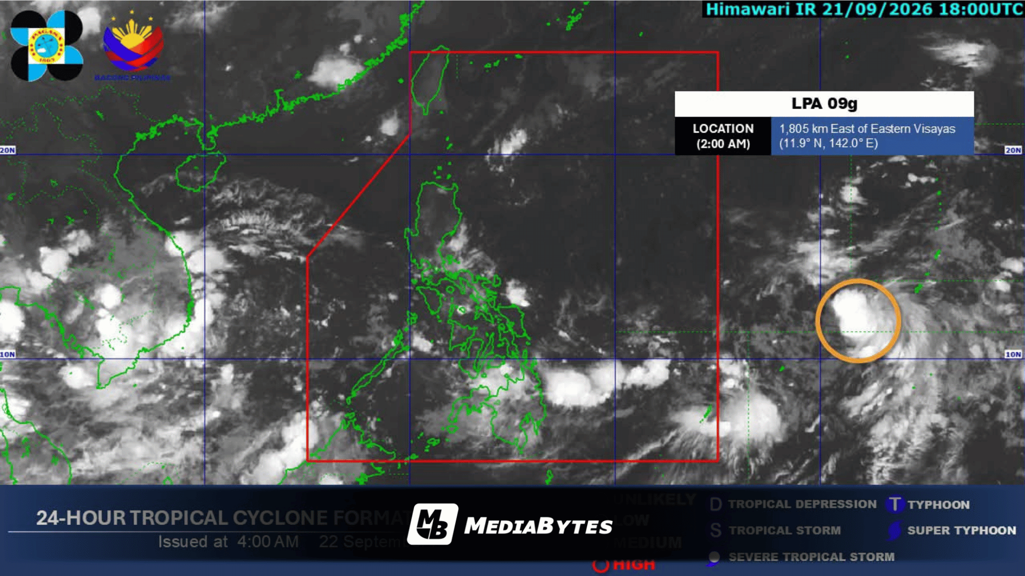
MANILA, Philippines — Rain showers will affect several regions across the country on Tuesday due to the extensions of a low pressure area (LPA), according to the state weather agency.
In its early morning bulletin, the Philippine Atmospheric, Geophysical and Astronomical Services Administration (PAGASA) noted that the LPA maintains a moderate likelihood of intensifying into a tropical depression within 24 hours. As of 2:00 a.m., the weather system was spotted 1,805 kilometers east of Eastern Visayas, remaining outside the Philippine Area of Responsibility.
The trough of the LPA will bring scattered rain showers and localized thunderstorms to Eastern Visayas, Bohol, Caraga, and Davao Oriental. Forecasters alerted residents in affected areas that moderate to heavy rainfall could trigger flash floods or landslides.
Isolated rain showers will prevail over the rest of the country, driven by localized thunderstorms and the southwest monsoon, locally known as habagat. PAGASA cautioned that severe thunderstorms in these regions may also prompt localized flooding and landslides.
Furthermore, coastal waters and weather conditions will feature moderate to strong winds along with moderate to rough seas across Northern Luzon, as well as the eastern coastlines of Central and Southern Luzon.
Calm to moderate sea conditions accompanied by light to gentle winds are anticipated across the remainder of the archipelago.