


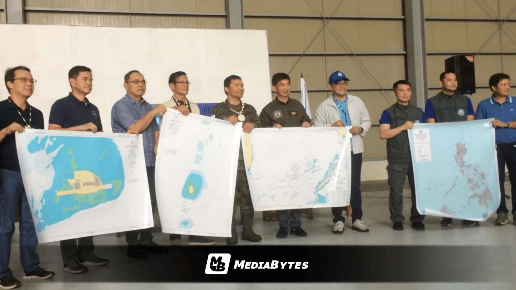
MANILA, Philippines — National officials formally turned over a newly updated nautical map of Pag-asa (Thitu) Island to local authorities in the Kalayaan municipal government on Friday, September 25, providing a precise record of the island’s coastline, water depths, and land elevations.
The mapping effort covers Pag-asa Island—the largest of nine features occupied by the Philippines in the Kalayaan Island Group—alongside Likas Island, Parola Island, Lawak Island, Patag Island, Kota Island, Panata Island, Ayungin Shoal, and Rizal Reef.
Presidential Assistant for Maritime Concerns Andres Centino underscored the map’s significance beyond its technical function, framing it as a formal assertion of Philippine territory.
“It’s actually a declaration that indeed Pag-asa is part of the Republic of the Philippines,” Centino said.
The map was handed over to Kalayaan Mayor Beltsazar Alindogan in an event witnessed by National Anti-Poverty Council Secretary Manny Pacquiao.
The joint hydrographic project was conducted by the National Mapping and Resource Information Authority (NAMRIA) and the Philippine Navy’s Naval Meteorological and Oceanographic Center (PN-NAVMETOC) following a directive from the National Maritime Council issued in December 2025.
Field operations ran from February to August and involved 18 personnel split into three teams. The units established satellite reference points, deployed tide gauges, executed coastlining during high tide, and conducted sonar scanning of the seabed.
PN-NAVMETOC Commander Capt. Rommel Marcelo Panol noted that monitoring precise tidal variations is critical for establishing maritime boundaries.
“The high tide and low tide, much as we don’t notice it, immediately have implications in determining our boundaries,” Panol said.
Despite operational delays caused by rough seas and harsh weather during the southwest monsoon, survey personnel successfully gathered and processed the field data required for the final nautical publication.
“However, the survey was successfully conducted and allowed us to determine the high tide elevated features,” Panol said.