


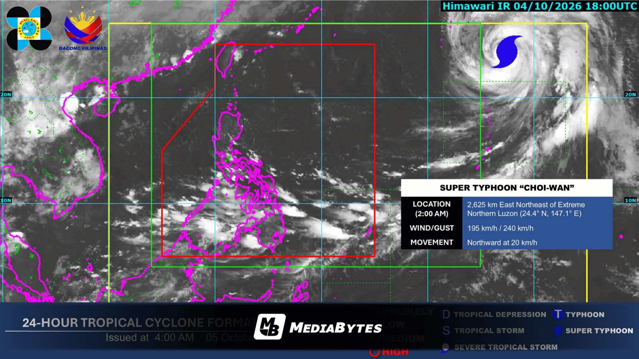
QUEZON CITY, Philippines — The extension or trough of Super Typhoon Choi-Wan is anticipated to bring overcast skies, scattered rainshowers, and thunderstorms across portions of the Visayas and Mindanao on Monday, the state weather bureau reported.
In its 4:00 AM bulletin, the Philippine Atmospheric, Geophysical and Astronomical Services Administration (PAGASA) said the weather system will affect Mindanao, Western Visayas, the Negros Island Region, Central Visayas, Leyte, and Southern Leyte.
PAGASA cautioned residents in these regions that moderate to occasionally heavy rainfall could lead to flash floods and landslides.
Meanwhile, Metro Manila along with the remainder of the country can expect generally fair weather with partly cloudy to cloudy skies, alongside isolated rainshowers or thunderstorms caused by localized weather conditions. Severe thunderstorms could likewise trigger localized flooding and landslides.
As of 3:00 AM, Super Typhoon Choi-Wan was located 2,605 kilometers east-northeast of Extreme Northern Luzon, remaining outside the Philippine Area of Responsibility (PAR).
The tropical cyclone carried maximum sustained winds of 195 kilometers per hour near its center, with gusts reaching up to 240 kilometers per hour, while moving northward at a speed of 20 kilometers per hour.
PAGASA said it is maintaining active surveillance of the super typhoon and urged the public to continuously monitor official updates and advisories.