


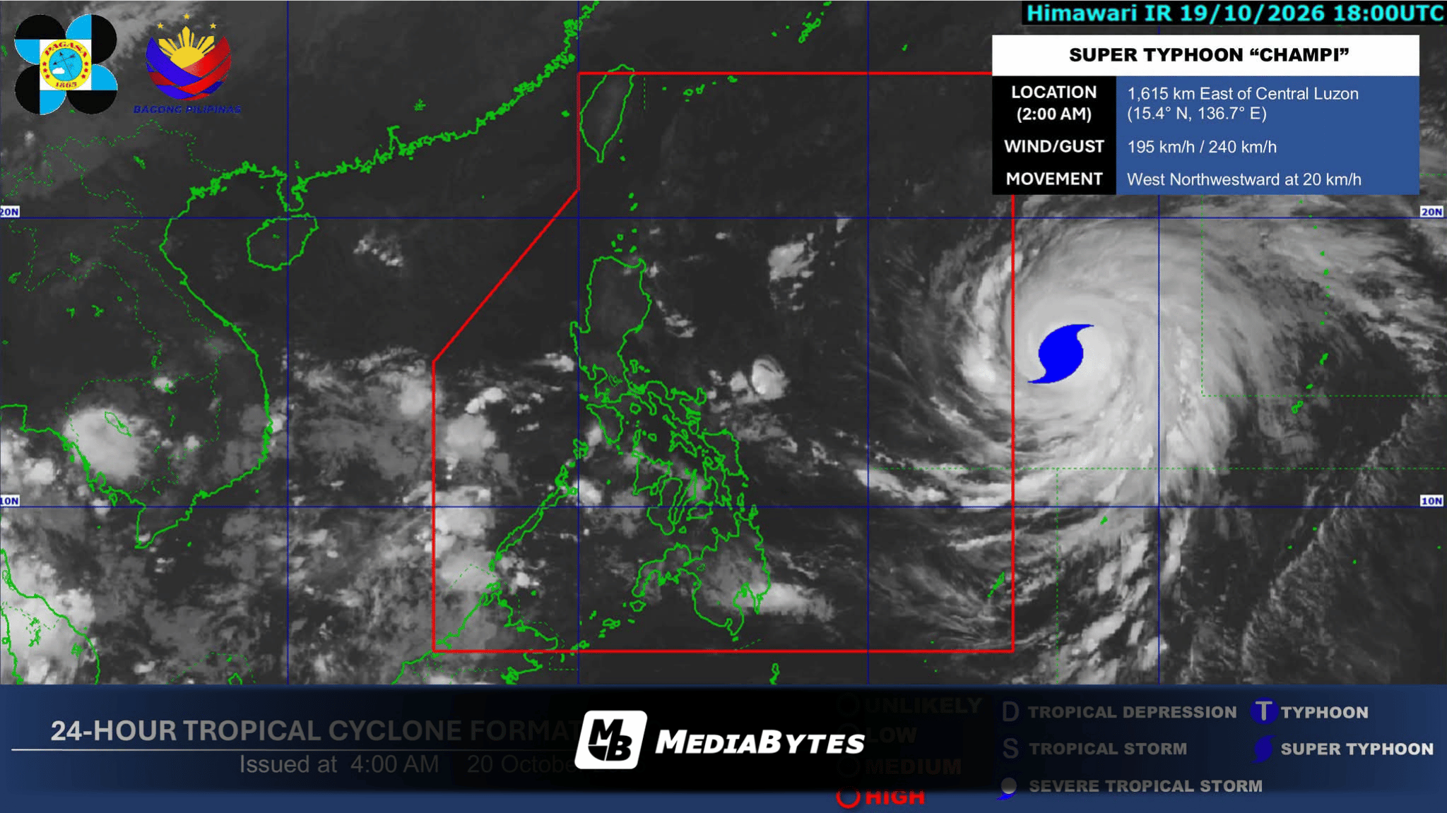
MANILA — The Philippine Atmospheric, Geophysical and Astronomical Services Administration (PAGASA) reported that Super Typhoon Champi is anticipated to cross into the Philippine Area of Responsibility (PAR) on Tuesday morning or afternoon.
State meteorologists stated that the weather disturbance will be assigned the local name “Rosal” immediately upon its entry into the PAR.
PAGASA added that it may hoist Tropical Cyclone Wind Signals and a gale warning over select territories on Tuesday due to the potential hazards brought by Champi’s approach. Meanwhile, the outer rain bands or extension of the super typhoon will directly influence weather conditions in Catanduanes, Northern Samar, and Eastern Samar.
Based on the most recent tracking data, Champi was spotted 1,605 kilometers east of Central Luzon, packing maximum sustained winds of 195 kilometers per hour and gustiness reaching up to 240 kilometers per hour.
The system was tracking west-northwestward at a speed of 20 kilometers per hour.
Concurrently, PAGASA noted that the Intertropical Convergence Zone (ITCZ) is forecast to generate scattered rain showers over Palawan on Tuesday, October 20, while the easterlies continue to impact extreme Northern Luzon.