

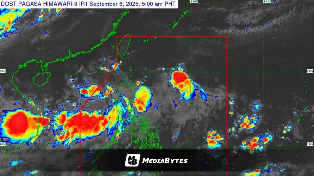
The low-pressure area off Northern Luzon has intensified into Tropical Depression Lannie, the state weather bureau announced Saturday.
As of 5:15AM, Lannie’s center was located 315 kilometers west of Sinait, Ilocos Sur. It carried maximum sustained winds of 45 kilometers per hour (kph) near the center and gusts of up to 55 kph, moving westward at 15 kph.
The Philippine Atmospheric, Geophysical and Astronomical Services Administration (PAGASA) said, “Lannie will move generally northwestward until Monday before turning west-northwestward through the rest of the forecast period.”
The system is expected to exit the Philippine Area of Responsibility (PAR) by Saturday morning or afternoon. PAGASA added that Lannie is likely to strengthen into a tropical storm by Saturday night or early Sunday morning.
Scattered rains and thunderstorms are expected over the Ilocos, Cordillera, and Cagayan Valley regions due to Lannie. Meanwhile, Metro Manila, Central Luzon, and Calabarzon will experience similar weather conditions as the tropical depression enhances the southwest monsoon.
Elsewhere in the country, isolated rains or thunderstorms are forecast due to the combined effects of the southwest monsoon and localized thunderstorms.
The western section of Northern Luzon will experience moderate to strong winds with moderate to rough seas, while the rest of the archipelago will have light to moderate winds and slight to moderate coastal waters.