

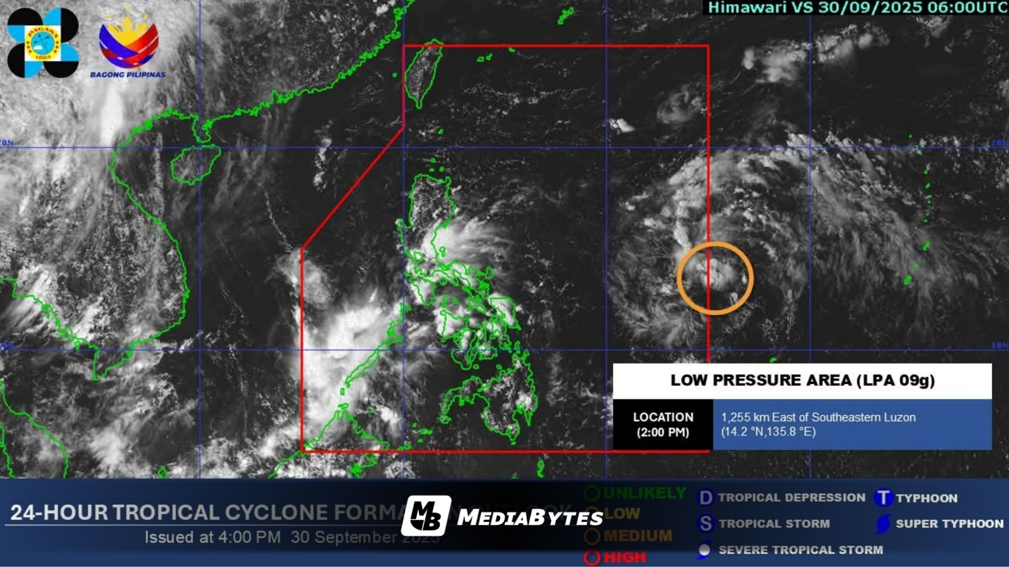
A low pressure area (LPA) currently spotted 1,360 kilometers east of southeastern Luzon could enter the Philippine Area of Responsibility (PAR) by Tuesday night, according to the Philippine Atmospheric, Geophysical and Astronomical Services Administration (PAGASA).
PAGASA Administrator Nathaniel Servando said the weather disturbance has a moderate chance of developing into a tropical depression (TD) within 24 hours.
“Once the LPA develops into TD, its projected track is similar to tropical cyclone Nando. South of Nando’s track is also not ruled out,” Servando explained in an interview.
Should it strengthen into a TD, the system will be named “Paolo.” Current forecasts indicate that the cyclone will generally head toward the Babuyan and Calayan Islands or other parts of Northern Luzon.
By Friday, rains are expected to spread across Northern Luzon, with the possibility of landfall in Cagayan province.
“It could possibly make landfall over Cagayan area. It might reach the tropical storm category prior to landfall,” Servando added.