

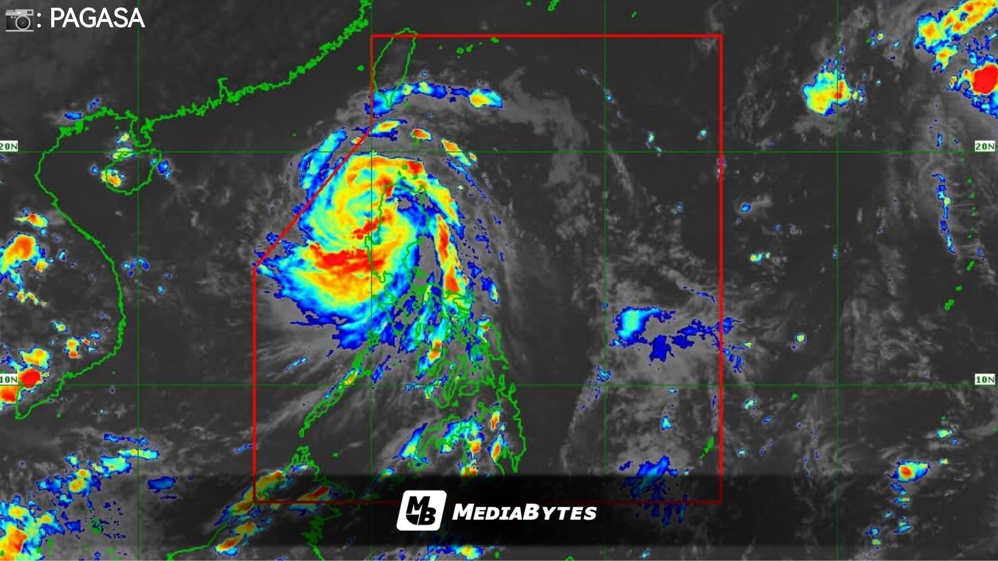
Tropical cyclone Paolo has weakened into a severe tropical storm, the state weather bureau PAGASA said in its 5 p.m. bulletin on Friday.
The storm was last spotted over the coastal waters of Santa Cruz, Ilocos Sur, moving west-northwest at 35 kilometers per hour.


Signal Warnings
Signal No. 3: Ilocos Sur, La Union, parts of Abra, western Kalinga, western Mountain Province, western Ifugao, and Benguet.
Signal No. 2: Southern Ilocos Norte, Pangasinan, remaining areas of Abra, Kalinga, Mountain Province, Ifugao, parts of Isabela, Quirino, Nueva Vizcaya, and northern Nueva Ecija.
Signal No. 1: Rest of Ilocos Norte, Apayao, Batanes, mainland Cagayan including Babuyan Islands, rest of Isabela, Quirino, Nueva Vizcaya, Aurora, Nueva Ecija, Tarlac, Zambales, Pampanga, Bulacan, northern Quezon including Polillo Islands.
Coastal Hazards and Rainfall
A gale warning remains in effect over the seaboards of Northern Luzon and the eastern coast of Central Luzon. PAGASA also warned of a moderate to high risk of storm surges reaching 1 to 3 meters in coastal areas of Ilocos Norte, Ilocos Sur, La Union, Pangasinan, Zambales, Cagayan, Isabela, and Aurora.
Paolo continues to bring heavy rains over Ilocos Region, Cordillera, Cagayan Valley, Central Luzon, and parts of Bataan and Zambales.
According to PAGASA, Paolo is expected to maintain its west-northwest track and exit the Philippine Area of Responsibility (PAR) by Saturday.