

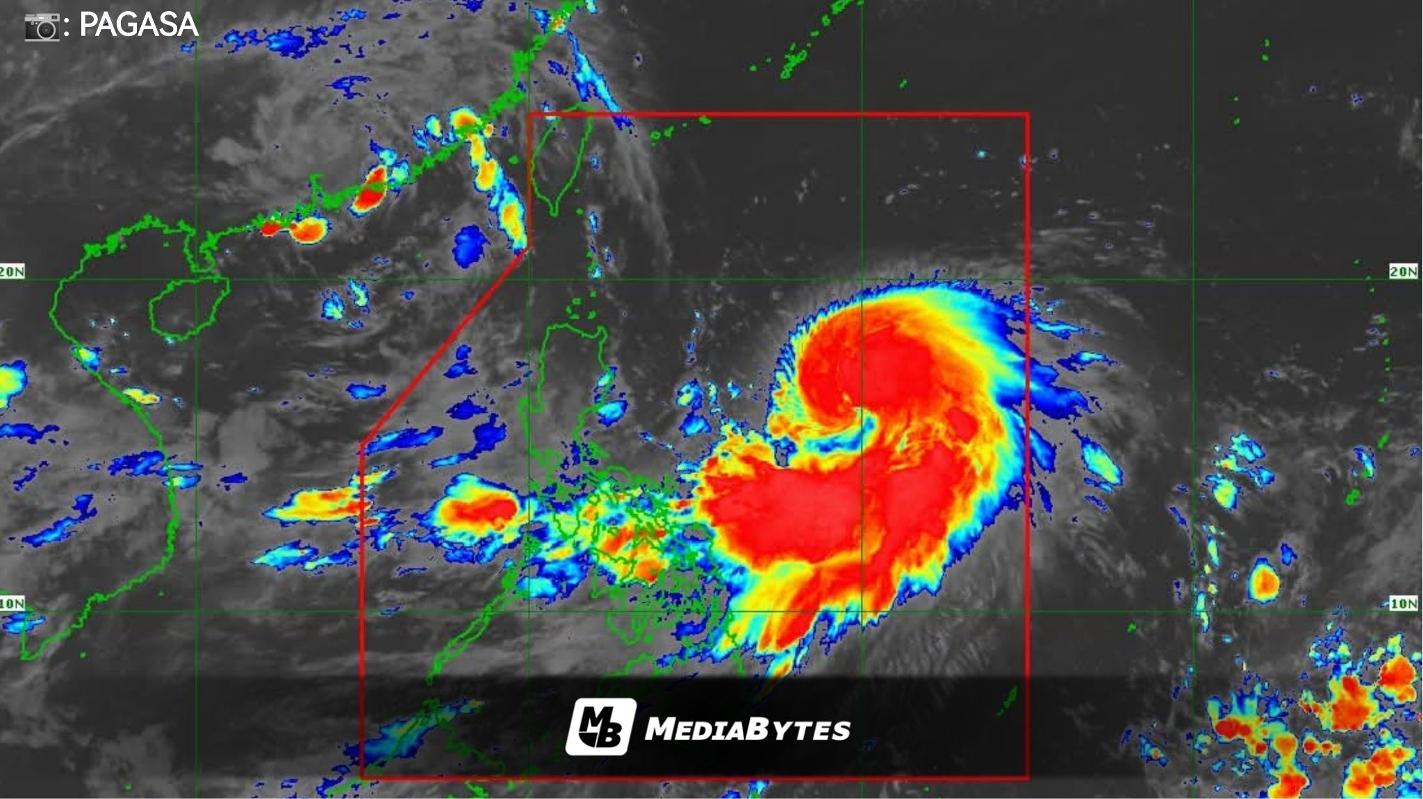
Severe Tropical Storm “Nando” has further intensified and is now expected to strengthen the southwest monsoon as it tracks closer to land.
As of 5AM Saturday, Nando was spotted 780 kilometers east of Casiguran, Aurora. It carried maximum sustained winds of 100 kilometers per hour near the center, gusts of up to 125 kph, and was moving northwestward at 10 kph, according to the Philippine Atmospheric, Geophysical and Astronomical Services Administration (PAGASA).


PAGASA warned that Wind Signal No. 1 may be raised over Northern Luzon within the day.
On its current path, Nando may either pass very close to or make landfall over Batanes or the Babuyan Islands between Monday afternoon and evening. The storm is projected to exit the Philippine Area of Responsibility (PAR) by Tuesday morning or midday.
PAGASA added that the cyclone is still gathering strength over the Philippine Sea: “Nando will continue to intensify while over the Philippine Sea. It may reach typhoon category within the next 12 hours and super typhoon by Monday before its close approach to Batanes and the Babuyan Islands,” the agency said.
The storm’s trough is expected to bring cloudy skies with scattered rain showers and thunderstorms over Cagayan Valley, the Bicol Region, Eastern Visayas, Aurora, and Quezon.
Meanwhile, the enhanced southwest monsoon will trigger similar weather conditions in Metro Manila, Mimaropa, Pangasinan, the rest of Central Luzon, and the rest of Calabarzon.
The rest of the country will experience partly cloudy to cloudy skies with isolated rains or thunderstorms caused by the southwest monsoon or localized thunderstorms.
PAGASA also warned that the eastern portions of Luzon would see moderate to strong winds with moderate to rough seas, while northern Luzon will have moderate winds and seas. The rest of the archipelago will have light to moderate winds and slight to moderate seas.