

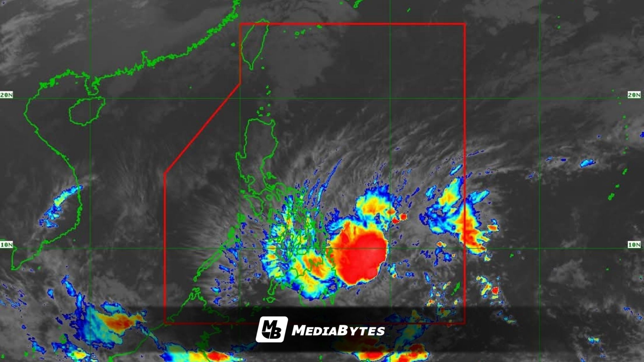
Tropical Storm Basyang has prompted the Philippine Atmospheric, Geophysical and Astronomical Services Administration (PAGASA) to raise Tropical Cyclone Wind Signal No. 2 over 10 areas in Mindanao as the storm moves closer to landfall in Surigao del Sur.
As of 7 a.m. Thursday, Basyang was located about 385 kilometers east of Hinatuan, Surigao del Sur, packing maximum sustained winds of 65 kph and gusts of up to 80 kph, while moving west-southwestward at 20 kph.


Signal No. 2 was raised over:
- Surigao del Norte
- Surigao del Sur
- Extreme northern Davao Oriental
- Agusan del Norte
- Agusan del Sur
- Camiguin
- Misamis Oriental
- Northern Bukidnon
- Northeastern Lanao del Norte
- Northeastern Misamis Occidental
Signal No. 1 was also in effect over 30 other areas.
PAGASA said Basyang is expected to slightly intensify before making its initial landfall over Surigao del Sur late Thursday or early Friday.
It may weaken but remain a tropical storm as it traverses northeastern Mindanao, Siquijor, and southern Negros through Friday afternoon, before further weakening into a tropical depression ahead of its passage over northern Palawan.
“On the forecast track, the center of Basyang will make its initial landfall over Surigao del Sur between tonight and tomorrow early morning,” PAGASA said.
“Basyang may further intensify prior to its initial landfall. It will then slightly weaken as it interacts with the landmass but it will likely remain a tropical storm. Further weakening into a tropical depression is forecast by Saturday and will be downgraded into a low pressure area by Monday.”