

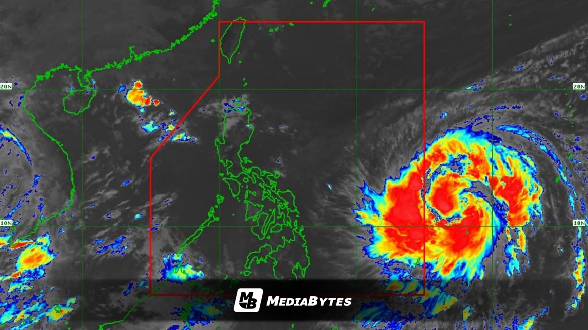
Severe Tropical Storm Fung-wong has strengthened further as it continues to move across the Philippine Sea, northeast of Palau, the Philippine Atmospheric, Geophysical and Astronomical Services Administration (PAGASA) reported on Friday.
In its 11 a.m. advisory, PAGASA said the storm’s center was located 1,315 kilometers east of Eastern Visayas, still outside the Philippine Area of Responsibility (PAR).


Fung-wong is currently packing maximum sustained winds of 100 kilometers per hour (kph) near the center and gustiness of up to 125 kph, moving west-northwestward at 20 kph.
The weather bureau said the system is expected to enter the PAR either late Friday evening or early Saturday morning, at which point it will be given the local name Uwan.
PAGASA warned that the tropical cyclone may rapidly intensify, reaching typhoon category within 24 hours, and could even become a super typhoon by Saturday evening or Sunday morning.
Based on its current track, Uwan is projected to make landfall over the southern portion of Isabela or the northern portion of Aurora late Sunday or early Monday, before crossing Northern Luzon and emerging over the West Philippine Sea.
Tropical Cyclone Wind Signals may be raised as early as Friday afternoon or evening over parts of Southern Luzon, Eastern Visayas, and the Caraga Region, in anticipation of strong winds. PAGASA said the highest possible wind signal under the current scenario is Signal No. 5.
Weather conditions are expected to worsen starting Sunday, with potentially life-threatening winds and torrential rains likely over northern and parts of central Luzon by Monday and Tuesday.