

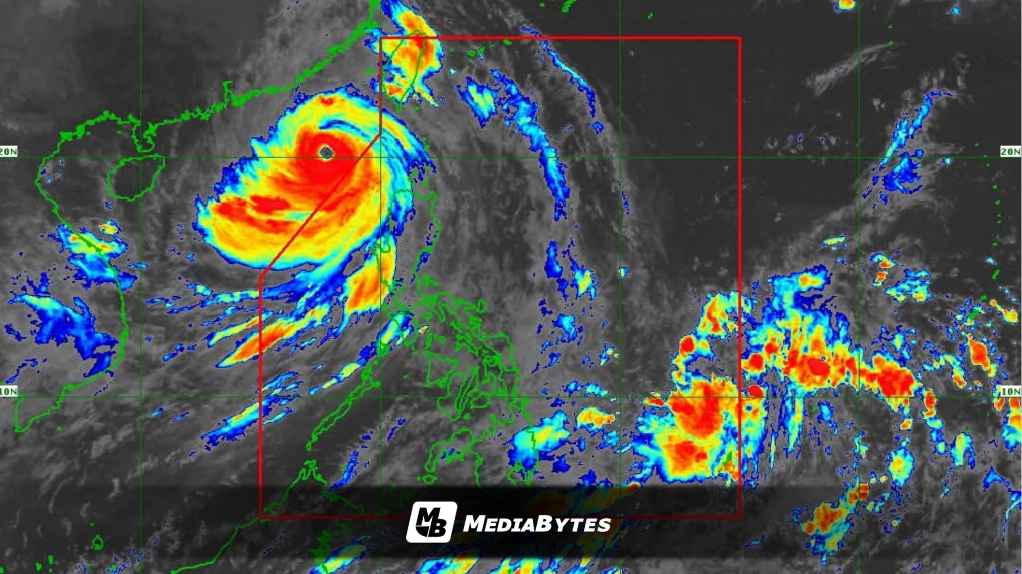
The low-pressure area east of Southern Luzon has strengthened into a tropical depression and is forecast to enter the Philippine Area of Responsibility (PAR) on Tuesday afternoon or evening, the Philippine Atmospheric, Geophysical and Astronomical Services Administration (PAGASA) said.


📷: PAGASA, Facebook
Once inside PAR, the system will be named “Opong.” The tropical depression currently has maximum sustained winds of 55 kph near the center, with gusts of up to 70 kph.
As of 10 a.m., Opong was tracked 1,075 kilometers east of Eastern Visayas. PAGASA said the cyclone is unlikely to affect the country’s weather and sea conditions significantly in the next 36 hours.
Wind Signal No. 1 could be raised over Eastern Visayas on Wednesday, while heavy rains may start on Thursday. The system is also expected to reach tropical storm strength by Thursday.
Opong is forecast to move generally west-northwestward, approaching Eastern Visayas and Southern Luzon by Friday, and is projected to exit PAR on Saturday night.
However, PAGASA warned that “there is a high uncertainty in the forecast scenario and the cyclone’s track could still change.”