

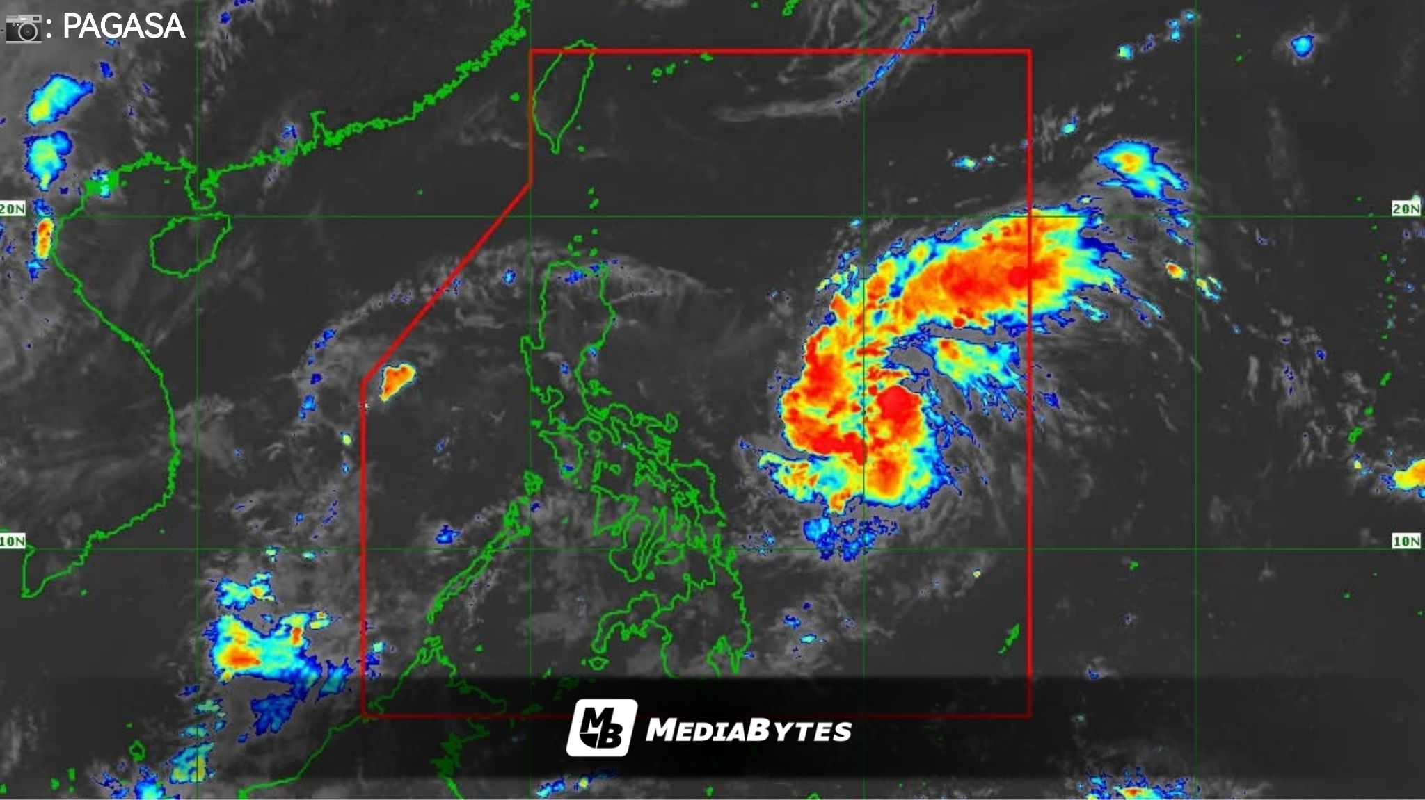
A new weather disturbance east of Southern Luzon has developed into a tropical depression and has been named “Paolo”, the Philippine Atmospheric, Geophysical and Astronomical Services Administration (PAGASA) confirmed Wednesday.


As of 11:00AM, Paolo was spotted 760 kilometers east of Virac, Catanduanes, carrying maximum sustained winds of 45 kilometers per hour (kph) and gustiness reaching 55 kph.
PAGASA clarified that no tropical cyclone wind signal has been raised and that the system is not expected to affect the country’s weather within the next 24 hours.
Still, the bureau warned that Paolo will begin bringing rains and moderate to rough sea conditions over the coastal waters of Northern and Central Luzon by Friday.
The cyclone is projected to strengthen into a severe tropical storm before possibly making landfall over Isabela or northern Aurora late Friday. Meteorologists also noted that Paolo could intensify into a typhoon before landfall, depending on sea and wind conditions.