

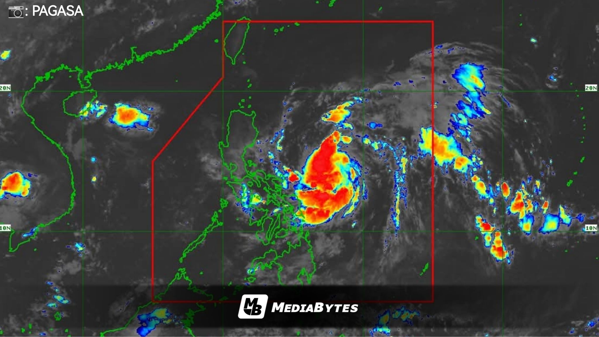
Paolo has further intensified and is now classified as a tropical storm. Based on the latest advisory, its center was estimated at 705 kilometers east of Infanta, Quezon, moving west-northwest at 20 kilometers per hour.


Tropical Storm Paolo currently packs maximum sustained winds of 65 km/h near the center and gusts of up to 80 km/h.
Areas under Tropical Cyclone Wind Signal (TCWS) No. 1:
- Mainland Cagayan
- Isabela
- Quirino
- Nueva Vizcaya
- Apayao
- Abra
- Kalinga
- Mountain Province
- Ifugao
- Benguet
- Ilocos Norte
- Ilocos Sur
- La Union
- Pangasinan
- Northern Zambales
- Tarlac
- Nueva Ecija
- Aurora
- Northern Bulacan
- Northern Pampanga
- Northern Quezon including Polillo Islands
- Northern Catanduanes
Meanwhile, the Philippine Atmospheric, Geophysical and Astronomical Services Administration (PAGASA) warned of a moderate risk of life-threatening storm surges with peak heights reaching 1 to 2 meters within the next 36 hours over low-lying and exposed coastal areas of Cagayan, Isabela, Aurora, Quezon, Camarines Norte, Camarines Sur, and Catanduanes.
According to PAGASA, Paolo may intensify further into a severe tropical storm and could make landfall over Isabela or northern Aurora by Friday. The storm is forecast to exit the Philippine Area of Responsibility (PAR) on Saturday.