

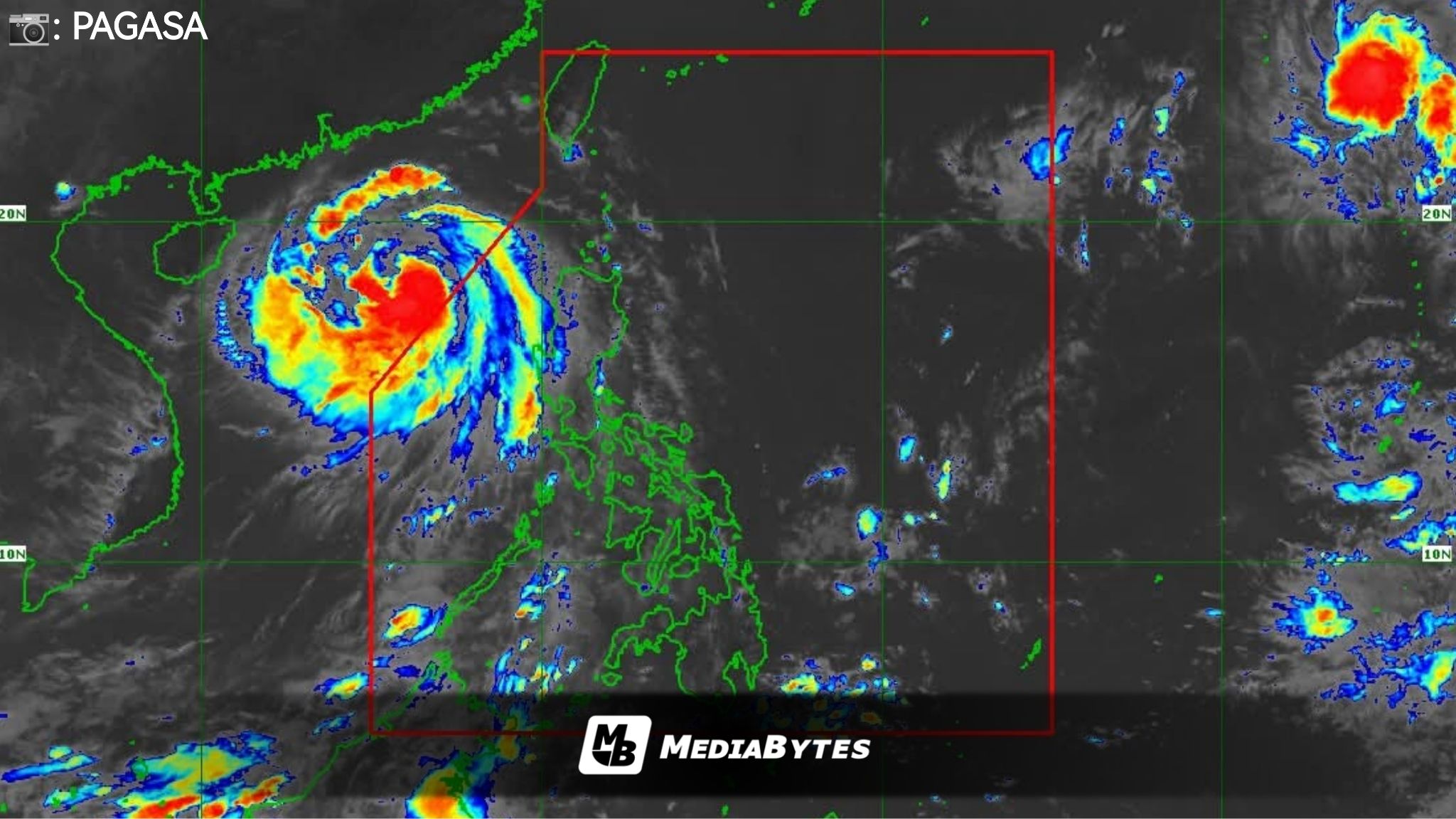
Severe Tropical Storm Paolo has officially left the Philippine Area of Responsibility (PAR) at 4:30 a.m. Saturday, according to PAGASA. With its exit, all remaining tropical cyclone wind signals have been lifted nationwide.

Still, forecasters are keeping an eye on a low pressure area (LPA) spotted far east of Taiwan, outside the PAR. The system has a high likelihood of intensifying into a tropical cyclone within the next 24 hours.

Should it enter the PAR late Monday or early Tuesday, it will be locally named Quedan. Early tracking shows a possible path toward either Taiwan or the Ryukyu Islands in southern Japan by midweek.
PAGASA reminded the public to remain vigilant and monitor updates, noting that forecasts on the storm’s path and strength may still change in the coming days.