

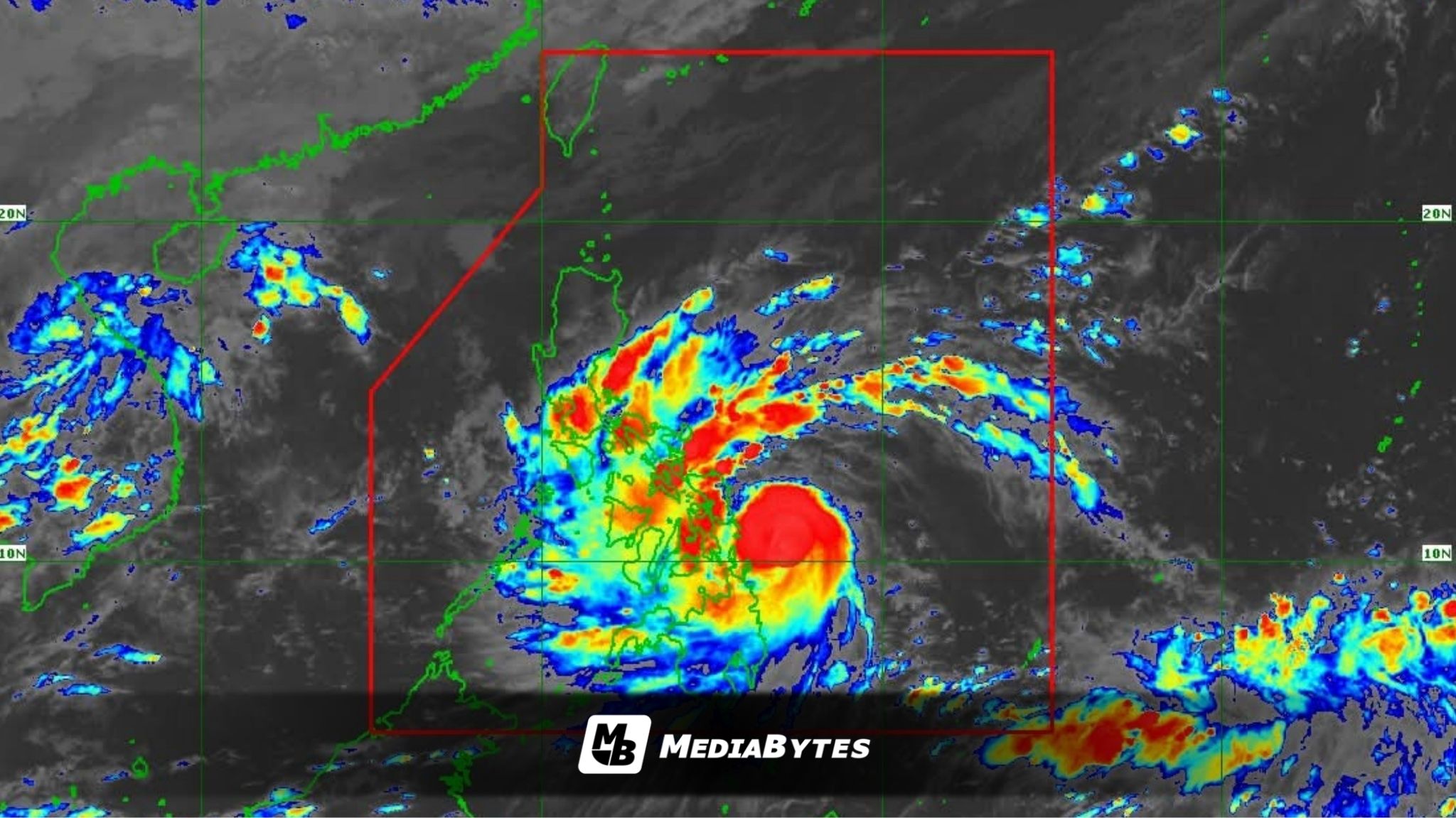
Typhoon Tino has intensified as it moves closer to the Eastern Visayas and Caraga regions, packing maximum sustained winds of 130 kilometers per hour (kph) near the center and gusts reaching 160 kph, according to PAGASA’s 5 p.m. advisory.
The storm was last spotted 170 km east-southeast of Guiuan, Eastern Samar, moving west at 20 kph.


PAGASA raised Tropical Cyclone Wind Signal (TCWS) No. 4 over areas in Eastern Samar, Leyte, Southern Leyte, Bohol (northeast), Dinagat Islands, and Siargao and Bucas Grande Islands. Lower wind signals (Nos. 3, 2, and 1) are hoisted across several provinces in the Visayas, Mindanao, and parts of Southern Luzon.
Tino is projected to make landfall or pass near Homonhon Island or Dinagat Islands by Monday night or early Tuesday, before crossing Leyte or Southern Leyte and moving across the Visayas and northern Palawan until early Wednesday. It is expected to exit the Philippine Area of Responsibility (PAR) by Thursday morning.
PAGASA warned of heavy to intense rainfall across large portions of the Visayas, Bicol Region, and northern Mindanao, with over 200 millimeters of rain possible in Eastern Samar, Leyte, Southern Leyte, Dinagat Islands, Cebu, Negros Occidental, Aklan, Iloilo, Guimaras, and Capiz.
The weather bureau also cautioned residents in mountainous and low-lying areas of possible flooding and landslides, especially in places already drenched by earlier rains.