


Tropical Storm Crising is forecast to strengthen further as it moves toward Northern Luzon, according to the 5:00 PM weather bulletin released by the Philippine Atmospheric, Geophysical and Astronomical Services Administration (PAGASA).
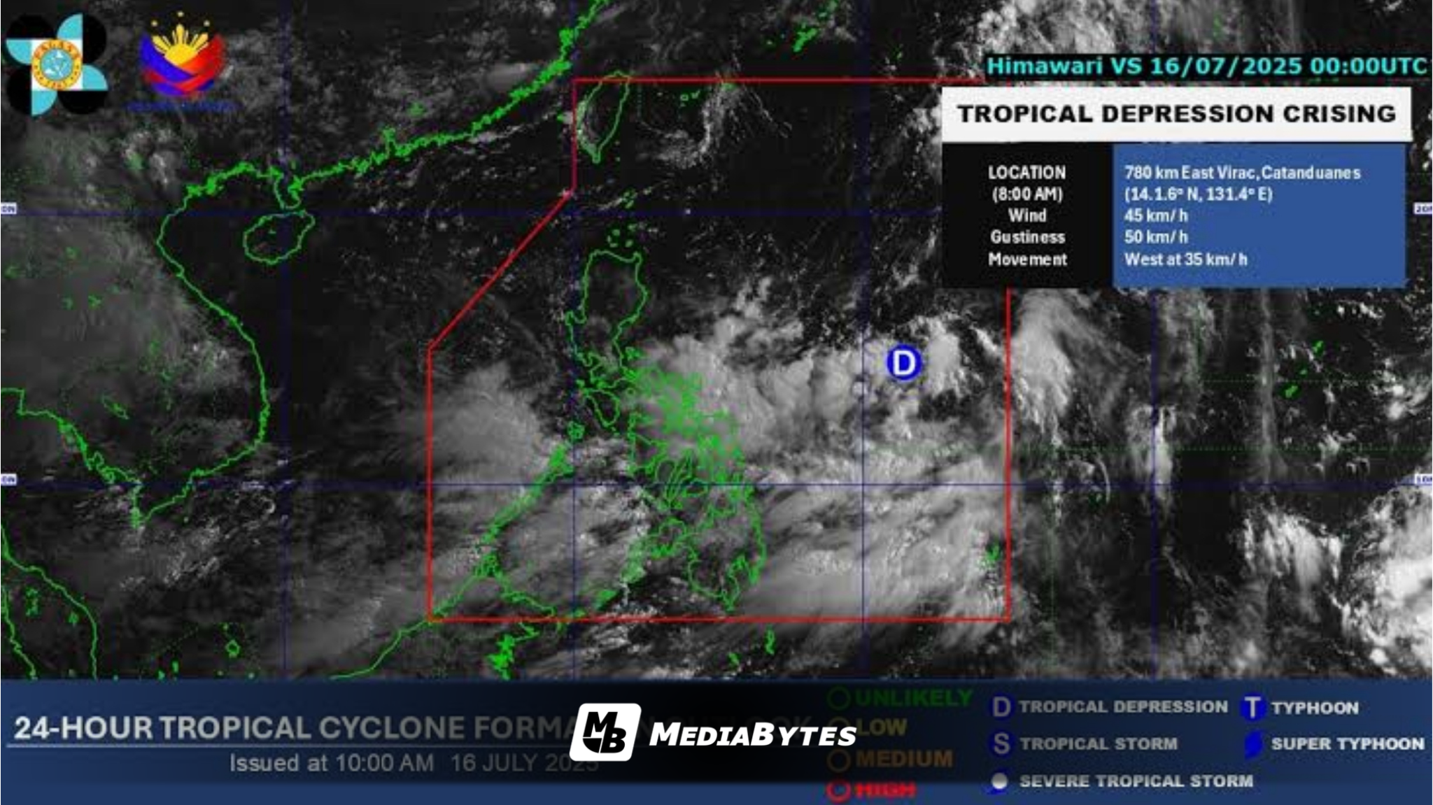
As of the latest advisory, Crising was located 625 kilometers east of Virac, Catanduanes, with maximum sustained winds of 45 km/h near the center and gusts reaching up to 55 km/h.
The storm is moving southwestward at a speed of 20 km/h.
PAGASA warned that Tropical Cyclone Wind Signal (TCWS) No. 1 may be raised in areas within Crising’s projected path.
“Should Crising maintain its westward movement or increase its radius, the possibility of raising Tropical Cyclone Wind Signal No. 1 over Catanduanes is also not ruled out,” PAGASA stated.
The agency further warned that TCWS No. 3 or even No. 4 could potentially be hoisted should the storm intensify significantly.
Crising is also expected to enhance the Southwest Monsoon (Habagat), bringing scattered rains over Metro Manila and nearby provinces.