

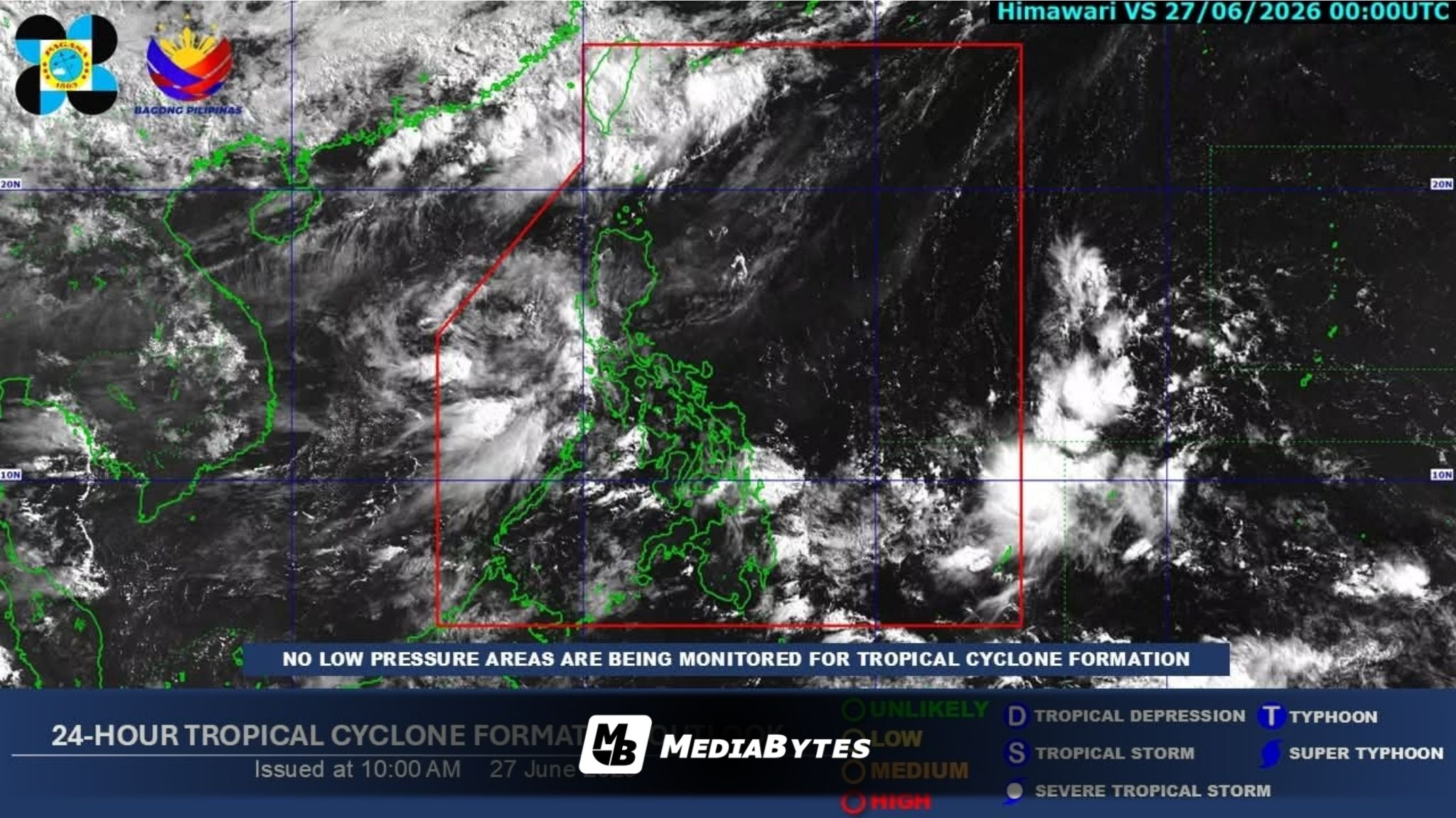
The state weather bureau PAGASA has advised the public to prepare for a potential tropical cyclone or low-pressure area that could enter the country’s territory by Monday, June 29.
According to the agency’s latest weather outlook spanning June 26 to July 3, the early part of the weekend will see the Southwest Monsoon (habagat) and the Intertropical Convergence Zone (ITCZ) steering the nation’s weather. From June 27 to 28, the monsoon will bring overcast skies, scattered rains, and thunderstorms to Metro Manila, Central Luzon, Southern Luzon, and the Ilocos Region.
Meanwhile, the ITCZ will trigger comparable conditions over Surigao del Sur and Davao Oriental, while the rest of the Philippines can expect fairer weather with isolated rain showers.
The weather is projected to shift significantly on Monday, June 29, as the approaching weather disturbance brings scattered rain and thunderstorms to Quezon Province, Caraga, the Bicol Region, and both Eastern and Central Visayas.
By June 30 to July 1, the interaction between the monsoon and the new weather system will likely trigger widespread rains and heavy cloud cover across most of Luzon and the Visayas. Mindanao, on the other hand, will enjoy generally improved weather, though afternoon or evening thunderstorms remain likely.
As the forecast period wraps up between July 2 and July 3, the habagat will hold sway over the western sections of Central and Southern Luzon. This will trigger scattered downpours over Metro Manila, Zambales, Bataan, and Southern Luzon, while the rest of the islands shift to partly cloudy skies with occasional localized storms.