


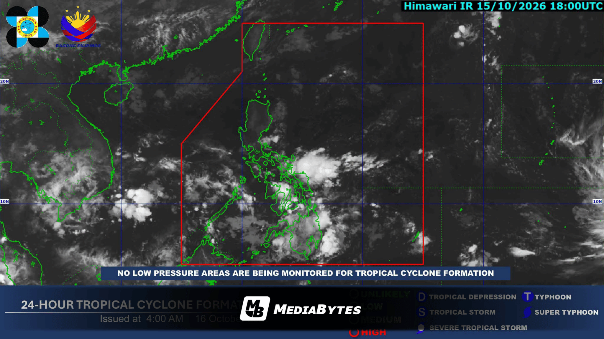
QUEZON CITY — Several weather systems, including the Intertropical Convergence Zone (ITCZ), are set to bring cloudy skies and scattered rain showers to various regions nationwide, the Philippine Atmospheric, Geophysical and Astronomical Services Administration (PAGASA) reported.
According to the state weather bureau, the ITCZ will heavily influence weather conditions in Palawan, the Visayas, Mindanao, the Bicol Region, and MIMAROPA, bringing cloudy skies accompanied by scattered rains and thunderstorms.
Residents in these areas are advised to remain vigilant against potential flash floods and landslides during periods of moderate to at times heavy rainfall.
Meanwhile, weather bureau forecasters noted that the easterlies will affect the eastern sections of Northern and Central Luzon. Specifically, Aurora and Quezon can expect cloudy skies with scattered rains and thunderstorms, which also carry risks of flash floods and landslides due to occasionally heavy downpours.
For Metro Manila and the rest of Luzon, the easterlies will trigger partly cloudy to cloudy skies with isolated rain showers or thunderstorms. PAGASA warned that brief yet severe thunderstorms could similarly induce localized flash floods or landslides.
In extreme Northern Luzon, the northeasterly windflow will prevail, causing Batanes and the Babuyan Islands to experience partly cloudy to cloudy skies with isolated light rains that are projected to cause no significant impact.
As for maritime conditions across the archipelago, extreme Northern Luzon will experience moderate winds blowing from the northeast to east, resulting in moderate to rough coastal waters. The Visayas and the rest of Luzon will have light to moderate winds moving in the same general direction, accompanied by slight to moderate seas.
Meanwhile, Mindanao can anticipate light winds with variable movement and slight coastal waters.