


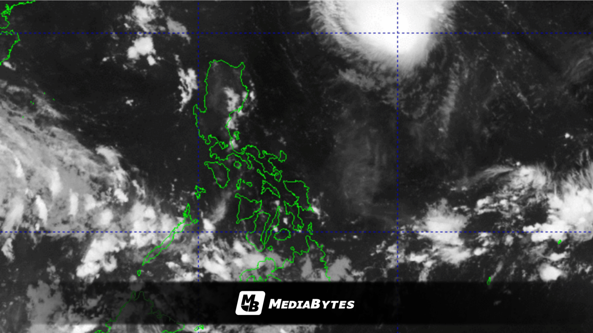
QUEZON CITY, Philippines — The Intertropical Convergence Zone (ITCZ) and localized thunderstorms will trigger widespread precipitation across several parts of the Philippines over the next four days, state weather agency PAGASA reported Friday, September 25.
Meanwhile, Tropical Storm Queenie is projected to traverse offshore without directly impacting the archipelago.
PAGASA weather specialist Leanne Loreto noted that weather patterns driven by the convergence of northern and southern hemisphere winds will continually shift locations across the country.
“In the next four days, nakikita nga natin patuloy ang epekto ng intertropical convergence zone. Magbabago lamang po yung lokasyon ng mga maaapektuhan nitong intertropical convergence zone,” Loreto said.
As of Friday, the ITCZ generated scattered rainfall and thunderstorms over Mindanao, Negros Oriental, and Siquijor. The rest of the nation experienced partly cloudy skies alongside brief, isolated downpours.
By Saturday, September 26, the convergence zone is expected to track northward toward Palawan, the Visayas, and Mindanao. Rainfall will then persist over Palawan, the Visayas, and northern Mindanao from Sunday, September 27, through Monday, September 28.
The weather system is predicted to weaken by Tuesday, September 29, leaving localized effects primarily over Palawan while fair weather returns elsewhere.
Authorities warned that sudden, torrential rains could trigger severe flash floods or landslides in vulnerable zones.
In a separate update, Tropical Storm Queenie was spotted 1,065 kilometers east of extreme Northern Luzon as of 4:00 a.m. Friday. Moving northwestward at 20 km/h, it packed maximum sustained winds of 75 km/h near its center with gusts reaching up to 90 km/h.
Although Queenie is forecast to intensify into a typhoon within the Philippine Area of Responsibility (PAR) by Sunday, it will decelerate, shift northeastward, and exit PAR between Sunday afternoon and early Monday without making landfall.