


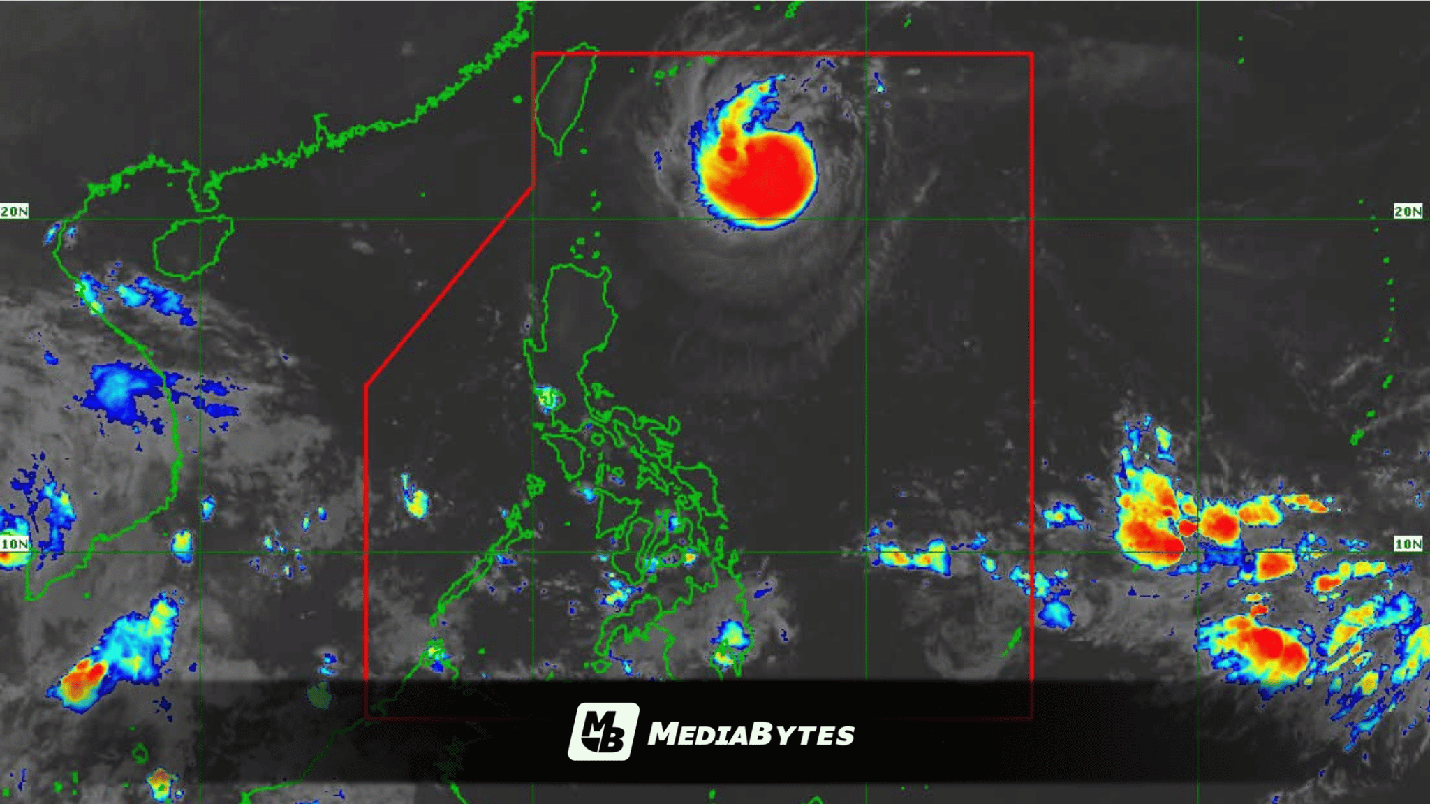
MANILA, Philippines — The Intertropical Convergence Zone (ITCZ) is expected to trigger widespread precipitation and potential weather hazards across key sections of the Visayas and Mindanao, state meteorologists reported Saturday morning, September 26.
According to a 5 a.m. weather bulletin from the Philippine Atmospheric, Geophysical and Astronomical Services Administration (PAGASA), weather specialist Veronica Torres noted that the weather system will deliver scattered rain showers and thunderstorms over several regions. Affected areas include the Negros Island Region, Central Visayas, Zamboanga Peninsula, Northern Mindanao, Caraga, Palawan, and Davao Oriental.
PAGASA issued a warning that moderate to occasionally heavy rainfall in these areas could trigger flash floods or landslides. Meanwhile, the remainder of the country can expect localized thunderstorms and partly cloudy to cloudy skies accompanied by isolated rain showers.
Coastal waters and wind conditions nationwide are projected to remain light to moderate.
Simultaneously, the weather bureau is monitoring Severe Tropical Storm Queenie, which was last tracked 600 kilometers east of Itbayat, Batanes. The storm packs maximum sustained winds of 95 km/h near its center, with gustiness reaching up to 115 km/h, and is advancing northwestward at a speed of 15 km/h.
Queenie is forecast to slow down while heading north-northwest over the next 12 hours before veering north-northeast by Sunday morning.
State meteorologists project the center of the storm to exit the Philippine Area of Responsibility (PAR) between Sunday afternoon and evening, after which it will accelerate toward the sea east of mainland Japan.
The storm is expected to reach typhoon intensity by Saturday evening or Sunday as it travels south of the Okinawa Islands, before gradually weakening by Monday.