

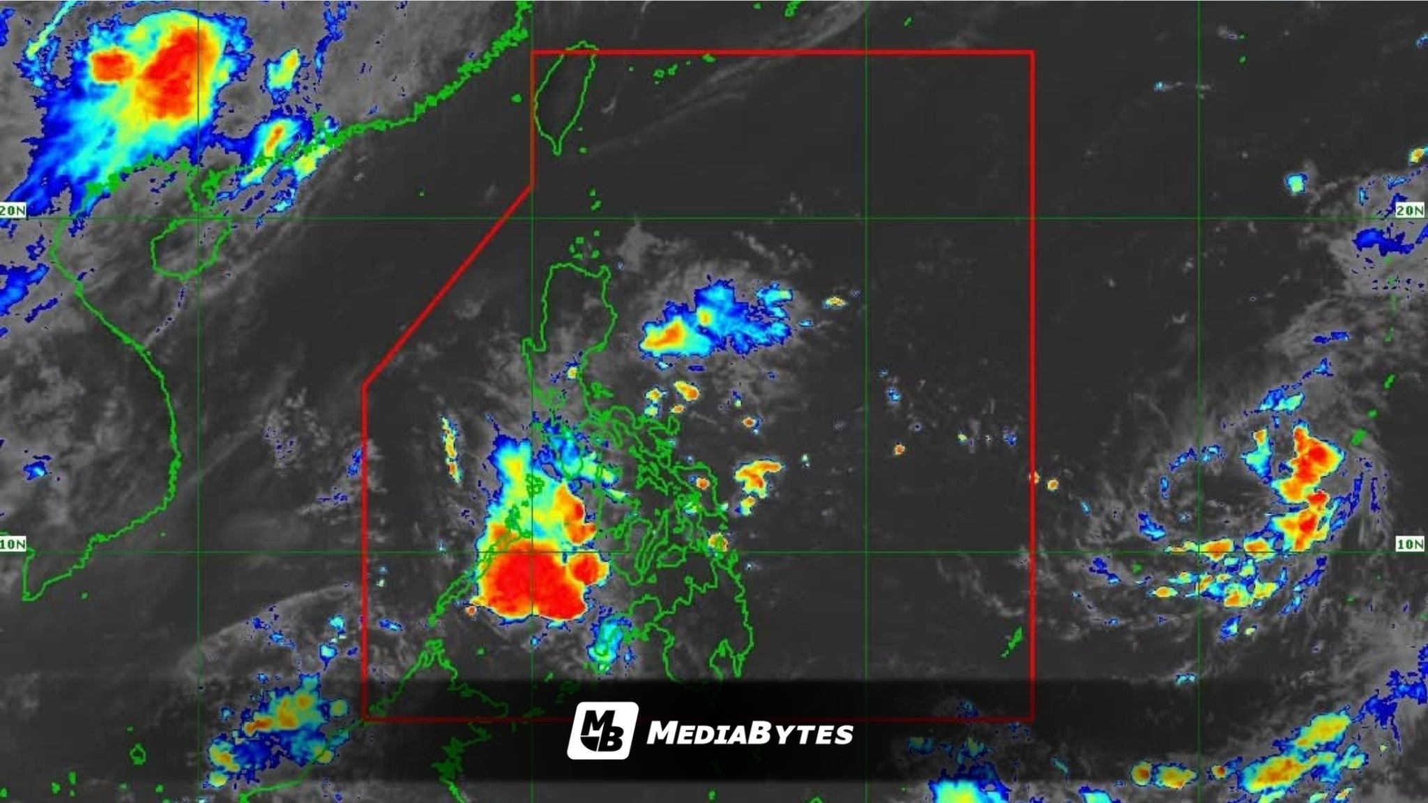
The low-pressure area tracked east of the country has developed into a tropical depression and is anticipated to enter the Philippine Area of Responsibility (PAR) this weekend, the Philippine Atmospheric, Geophysical and Astronomical Services Administration (PAGASA) reported on Friday, June 19.
As of 3:00 a.m., the tropical depression was located approximately 2,085 kilometers east of Eastern Visayas, according to PAGASA weather specialist Obet Badrina.
The weather system currently packs maximum sustained winds of 55 kilometers per hour near the center, with gusts up to 70 kph, and is tracking westward at 15 kph.
PAGASA noted that the storm does not currently have any direct impact on the country.
“Inaasahan po natin na ito ay papasok sa Philippine Area of Responsibility by tomorrow late evening o madaling araw ng Linggo,” Badrina said.
Upon crossing into the PAR boundary, the system will officially be named “Francisco.”
“Ang posibleng maging track nito ay kikilos kanluran-hilagang kanluran at sa ngayon maliit ang posibilidad na tumama sa kalupaan ng ating bansa,” Badrina added.
While current models show a low chance of landfall, forecasters warned that the system is likely to intensify into a typhoon and could pull and strengthen the southwest monsoon, locally known as habagat, starting Sunday, June 21.
Residents in the Visayas and Mindanao can expect cloudy skies with scattered rain showers and thunderstorms from Saturday to Sunday, June 20 to 21, due to the extension or trough of the tropical depression.
By Monday and Tuesday, June 22 to 23, the enhanced southwest monsoon is projected to bring cloudy conditions, scattered rains, and thunderstorms across the western portions of Mindanao, the Visayas, and Southern Luzon.
Meanwhile, the easterlies—warm winds originating from the Pacific Ocean—will continue to bring isolated rains and thunderstorms to the rest of the archipelago.
PAGASA has advised the public to remain vigilant against potential flash floods and landslides, particularly during severe thunderstorms.