

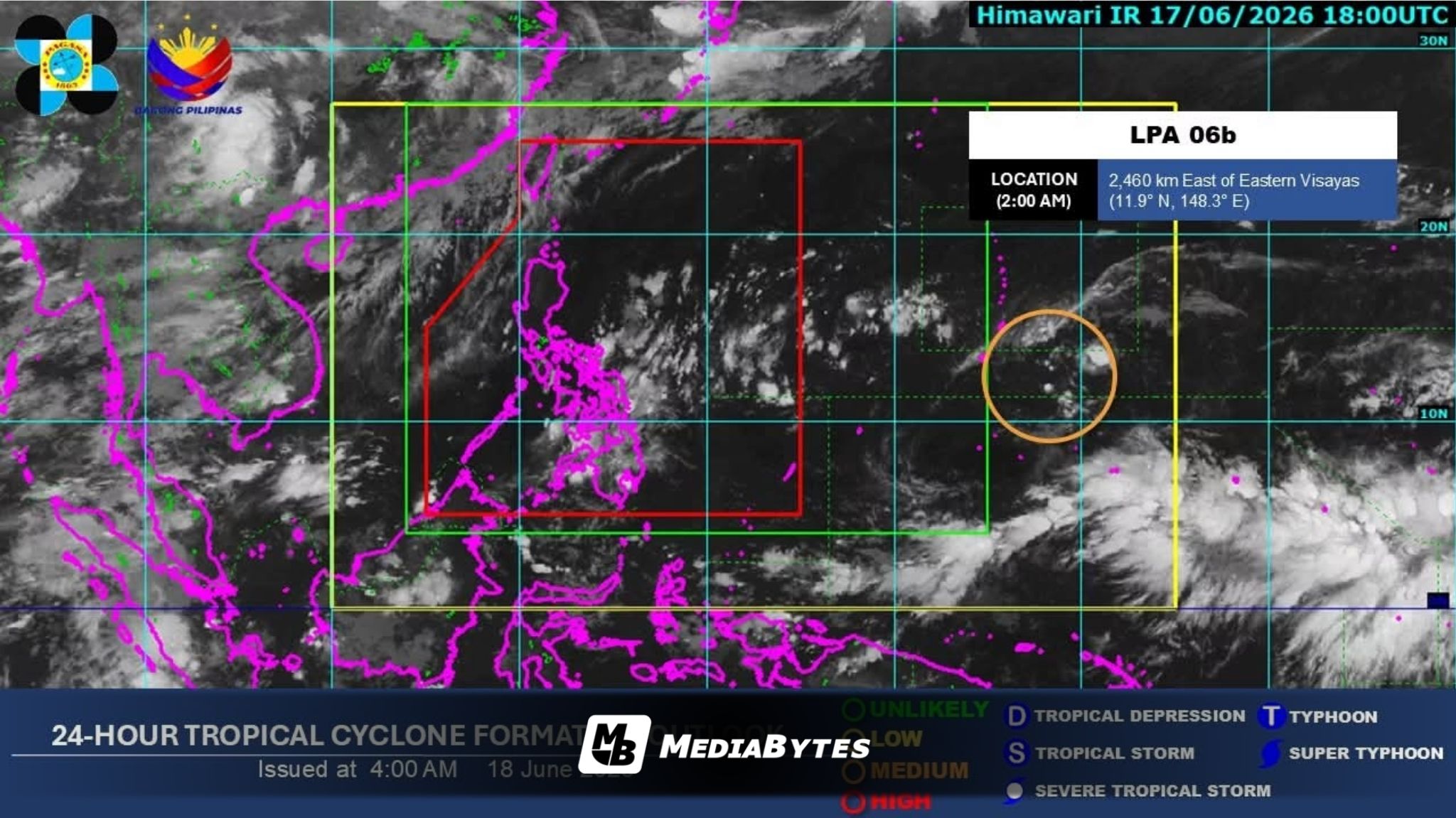
The Philippine Atmospheric, Geophysical and Astronomical Services Administration (PAGASA) is tracking a low-pressure area (LPA) outside the Philippine Area of Responsibility (PAR) that exhibits a moderate chance of developing into a tropical cyclone within the next 24 hours.
PAGASA weather specialist Loriedin dela Cruz-Galicia reported on Wednesday afternoon, June 17, that the system was spotted approximately 2,700 kilometers east of Eastern Samar.
Forecast tracks suggest the LPA could cross into the PAR by Sunday, June 21. If the system upgrades into a tropical cyclone by the time it enters the region, it will locally be named “Francisco.”
However, dela Cruz-Galicia noted that initial tracking models indicate the weather system will likely recurve northward toward southern Japan after a brief entry into the PAR boundary, minimizing the risk of a direct hit on the Philippines.
“Nanatiling mababa ang chance na ito ay mag-landfall sa ilang bahagi ng ating kalupaan,” dela Cruz-Galicia said.
Even though landfall remains unlikely, the state weather bureau warned that the system could still alter domestic weather patterns. The primary concern is its potential to pull and intensify the southwest monsoon, locally known as habagat, over the coming week.
“Gayunpaman, ang nakikita po nating senaryo ay maaari po itong mag-enhance ng southwest monsoon o habagat by next week,” she added.
Concurrently, the easterlies—or warm Pacific winds—continue to dictate the prevailing weather across Southern Luzon, the Visayas, and the eastern frontier of Mindanao.
“Wala po tayong inaasahang malawakan o widespread na pag-ulan sa malaking bahagi ng ating bansa,” dela Cruz-Galicia said.
The meteorologist clarified that substantial parts of the archipelago can expect warm, humid midday and afternoon weather.
Despite the general heat, short-lived localized thunderstorms triggered by daytime heating may still suddenly emerge during late afternoons or evenings.