

A tropical storm hovering east of the country is expected to intensify the southwest monsoon (habagat), threatening to bring widespread rains across vast areas of the Philippines starting Sunday, June 21, the state weather bureau reported.
Philippine Atmospheric, Geophysical and Astronomical Services Administration (PAGASA) weather specialist Loriedin dela Cruz-Galicia clarified on Friday that the weather system does not currently pose a direct threat to any part of the archipelago.
However, forecasters are keeping a close watch on the system, as it is highly likely to strengthen the habagat once it crosses into local waters over the weekend.
“Maigting po natin itong mino-monitor dahil once na pumasok po ‘yan sa ating area of responsibility, mataas ang tsansa na magti-trigger o mag-e-enhance po ito ng southwest monsoon o habagat na siya pong magpapaulan sa malaking bahagi ng ating bansa by Sunday until early next week,” she said.
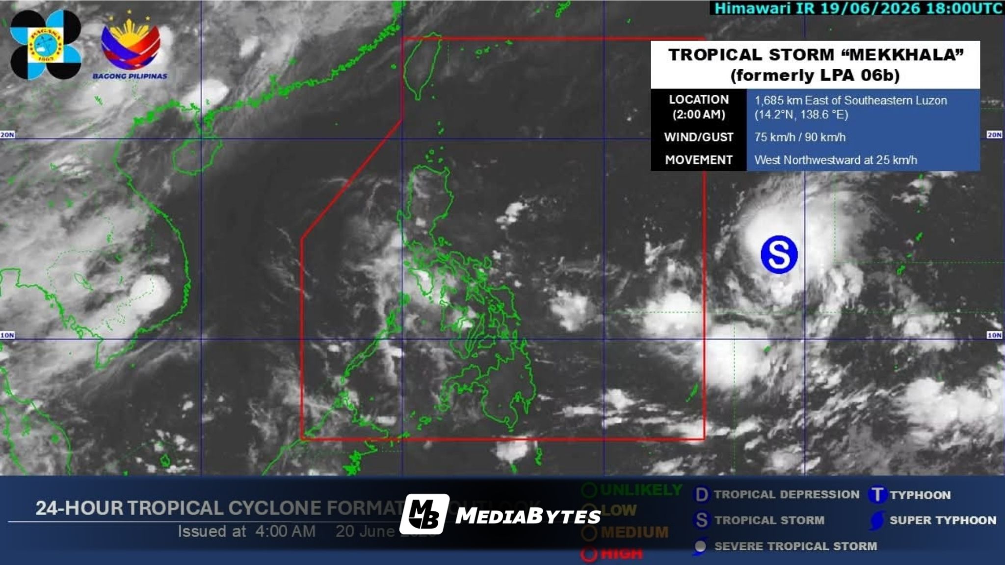
As of 6 a.m. Saturday, the weather disturbance was tracked 1,085 kilometers east of Southeastern Luzon. It was packing maximum sustained winds of 75 kilometers per hour (kph) near the center and gusts of up to 90 kph, advancing west-northwestward at a speed of 25 kph.
According to PAGASA, the storm is projected to enter the Philippine Area of Responsibility (PAR) between Saturday evening and early Sunday. By then, it may have already intensified into either a severe tropical storm or a full-blown typhoon. Upon entry, it will be assigned the domestic name “Francisco.”
Dela Cruz-Galicia noted that current numerical models show the storm staying entirely over the sea during its journey inside the PAR, where it could peak in strength.
“Makikita nga po natin na sa entire stay po niya sa ating area of responsibility ay nasa typhoon category po ‘yan,” she added.
While current trajectory forecasts suggest the cyclone will likely curve away from the landmass, weather authorities emphasized that they are not ruling out a potential landfall scenario.