

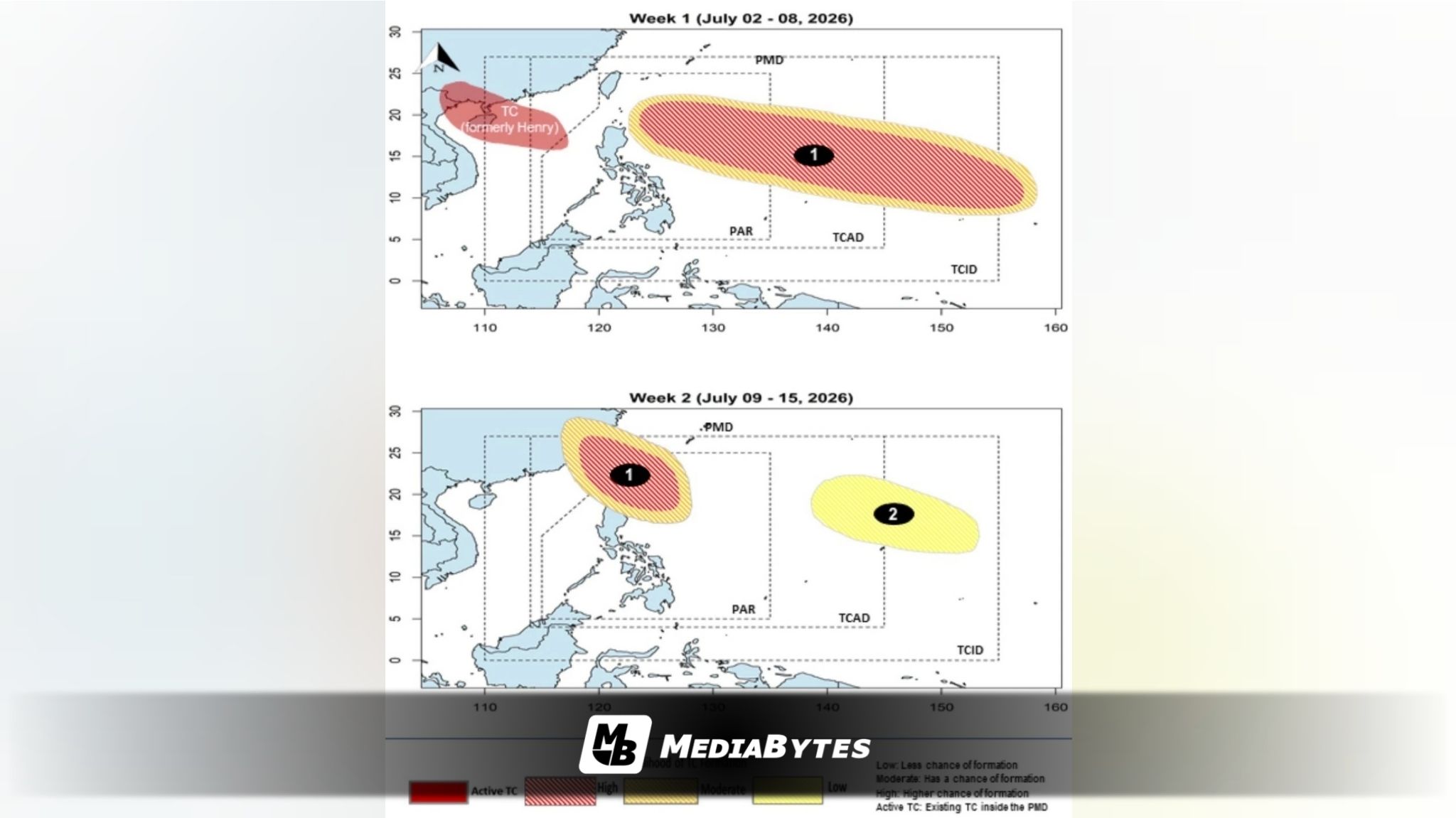
A powerful typhoon tracking toward the Philippines could intensify into a super typhoon before it crosses into the country’s jurisdiction next week, the Philippine Atmospheric, Geophysical and Astronomical Services Administration (PAGASA) warned on Friday, July 3.
The tropical cyclone, which carries the international name “Bavi,” was last spotted approximately 3,400 kilometers east of the archipelago and is maintaining a steady westward path.
According to PAGASA weather specialist Obet Badrina, the system is expected to enter the Philippine Area of Responsibility (PAR) within days.
“Possible po by Tuesday or Wednesday, papasok ito ng Philippine Area of Responsibility at posible po na magkaroon siya ng local name na ‘Inday’,” Badrina said.
While the storm poses no immediate threat to any part of the country over the weekend, meteorologists are closely watching its long-term trajectory.
Current forecast models indicate that Typhoon Bavi could pull and strengthen the southwest monsoon (habagat), triggering widespread rainfall across Luzon and Visayas from Wednesday to Friday, July 8–10.
The weather disturbance is projected to head toward Taiwan, a path that could necessitate the hoisting of tropical cyclone wind signals over Extreme Northern Luzon.
“So mainam po tumutok po kayo sa magiging update ng PAGASA lalo’t meron nga po tayong papasok na bagyo at posible po itong maging super typhoon po once na pumasok or bago pumasok ng Philippine Area of Responsibility,” he said.
Given that the storm is still days away from the landmass, weather officials emphasized that the forecast could still shift.
“Marami pa naman po pwede mangyari pero sa ngayon, ito po ang pinapakita ng ating mga datos,” he added.
Badrina urged citizens to remain vigilant and continuously monitor PAGASA’s official channels for real-time updates.