


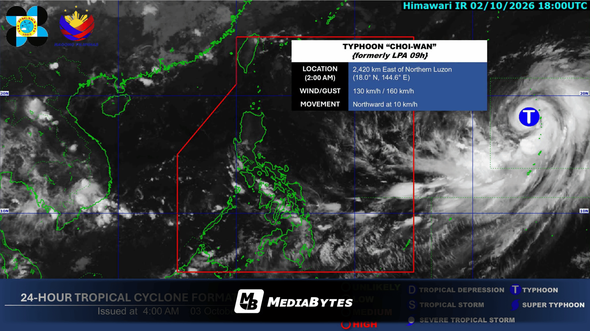
QUEZON CITY, Philippines — Typhoon Choi-Wan continues to travel northward beyond the Philippine Area of Responsibility (PAR), but its extension is forecast to trigger overcast skies and scattered precipitation over several regions in the Visayas and Mindanao, according to the state weather bureau’s Saturday morning outlook.
The Philippine Atmospheric, Geophysical and Astronomical Services Administration (PAGASA) tracked the severe weather system at 2,430 kilometers east of Northern Luzon as of 3:00 a.m.. The typhoon carries maximum sustained winds reaching 130 kilometers per hour around its core, accompanied by gusts reaching up to 160 km/h.
Rainfall driven by the storm’s trough will impact the following areas:
- Visayas: Western Visayas, Central Visayas, Negros Island Region, Leyte, and Southern Leyte
- Mindanao: Entire region
Meanwhile, Metro Manila along with the remainder of the archipelago can anticipate partly cloudy to cloudy skies, with brief, localized rain showers or thunderstorms likely to occur.
PAGASA also reported that light to moderate wind conditions will prevail across the country, maintaining slight to moderate ocean wave heights.