


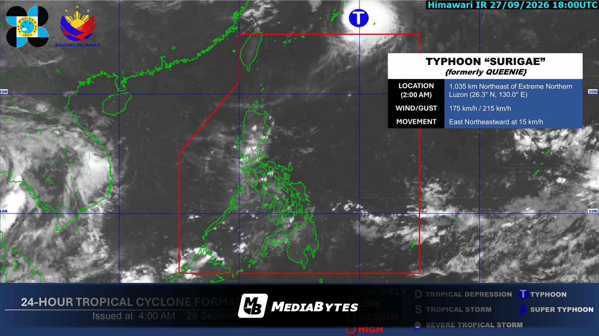
QUEZON CITY, Philippines — Typhoon Surigae, formerly known locally as Queenie, has officially moved outside the Philippine Area of Responsibility (PAR), but rain showers will continue to affect parts of the country due to the Intertropical Convergence Zone (ITCZ), the state weather bureau reported Monday, September 28.
According to the Philippine Atmospheric, Geophysical and Astronomical Services Administration (PAGASA), the center of Typhoon Surigae was tracked 1,055 kilometers northeast of extreme Northern Luzon as of 3:00 a.m. Monday.
The weather disturbance maintained maximum sustained winds of 175 kilometers per hour near its center, with gusts reaching up to 215 kph, as it traveled east-northeastward at 15 kph away from the landmass.
While the typhoon no longer directly affects the country, weather forecasters noted that the prevailing ITCZ is expected to bring overcast conditions accompanied by scattered rain showers and localized thunderstorms over the Visayas, Zamboanga Peninsula, Northern Mindanao, Caraga, Palawan, and Lanao del Sur.
Meanwhile, Metro Manila and the remaining areas of Luzon and Mindanao will see partly cloudy to cloudy skies with isolated thunderstorms throughout the day.
PAGASA advised the public to remain vigilant and monitor continuous weather updates, particularly regarding localized heavy rainfall and potential severe thunderstorms.