


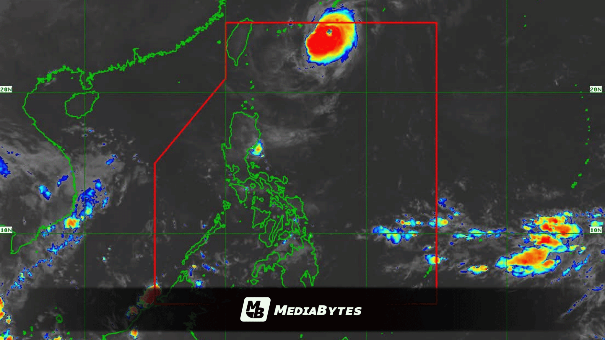
MANILA, Philippines — Typhoon Queenie slightly gained strength on Sunday morning, September 27, as it accelerated north-northeastward away from the Philippine landmass, while the Intertropical Convergence Zone (ITCZ) brought rain across southern parts of the country.
In its 5:00 AM bulletin, the Philippine Atmospheric, Geophysical and Astronomical Services Administration (PAGASA) tracked the center of the typhoon 685 kilometers northeast of Itbayat, Batanes.
Queenie packed maximum sustained winds of 130 kilometers per hour near the center and gusts of up to 160 km/h, moving north-northeast at 15 km/h. No Tropical Cyclone Wind Signals are currently raised, as the storm remains far from the national landmass.
While the typhoon poses no direct threat, PAGASA warned that the ITCZ will bring cloudy skies with scattered rains and thunderstorms over Northern Mindanao, Caraga, Negros Island Region, Central Visayas, Leyte, and Southern Leyte.
The weather bureau cautioned residents in affected areas that moderate to heavy rainfall could trigger flash floods and landslides.
Metro Manila, Palawan, and the rest of Luzon, Visayas, and Mindanao are expected to experience partly cloudy to cloudy skies with isolated rain showers or thunderstorms due to localized weather systems.
Coastal waters across the entire archipelago remain slight to moderate.