


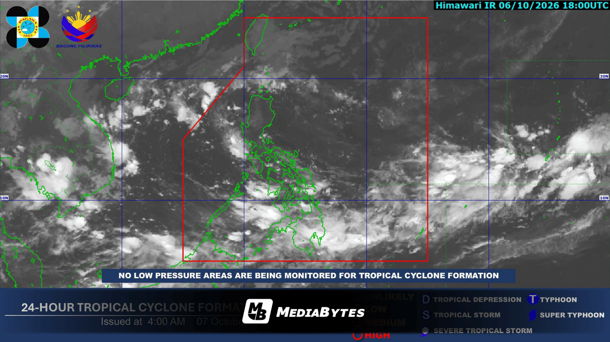
QUEZON CITY, Philippines — The Intertropical Convergence Zone (ITCZ) continues to dominate the weather patterns across Palawan, Visayas, and Mindanao, delivering overcast skies along with scattered rain showers and localized thunderstorms, according to the Philippine Atmospheric, Geophysical and Astronomical Services Administration (PAGASA) on Wednesday, October 7.
In its 4:00 a.m. public weather bulletin, atmospheric forecasters alerted communities that moderate to occasionally heavy rainfall could precipitate severe flash flooding and landslides, particularly in low-lying and mountainous zones vulnerable to intense downpours.
For Metro Manila and the remaining regions of Luzon, conditions will generally feature partly cloudy to overcast skies accompanied by isolated rain showers or severe afternoon thunderstorms driven by localized atmospheric instability. Similar risks of localized flooding and slope failures remain present during brief, heavy severe weather events.
Farther north, the northeasterly windflow is channeling light precipitation and cloudy conditions across Batanes and the Babuyan Islands.
Coastal waters around Extreme Northern Luzon are anticipating moderate to rough conditions, driven by moderate to strong northeasterly winds that could generate wave heights between 1.2 and 3.1 meters.
Across the remainder of Luzon and eastern Visayas, light to moderate winds will blow from the northeast to northwest, while southwest to west winds of similar strength will prevail over the rest of the archipelago, maintaining generally slight to moderate coastal sea conditions.
Temperatures in Metro Manila are projected to fluctuate between a low of 25°C and a peak of 32°C throughout the day.
PAGASA’s extended outlook indicates that the ITCZ will continue to influence weather conditions across southern regions through October 7, while the remainder of the country will predominantly experience fair weather interspersed with brief isolated rain showers.
Local disaster management offices advise residents in hazard-prone areas to stay vigilant and regularly check official meteorological updates.