

A low-pressure area (LPA) tracking across the Philippines is still on track to strengthen into a tropical depression, the Philippine Atmospheric, Geophysical and Astronomical Services Administration (PAGASA) warned on Tuesday, June 30.
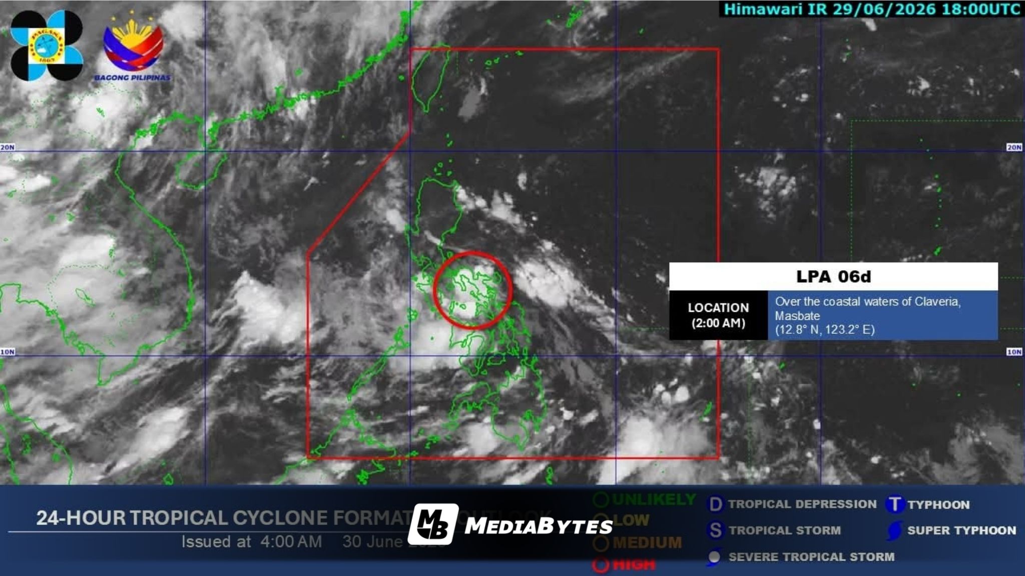
PAGASA weather specialist Chenel Dominguez reported that the weather system, tracked as LPA 06d, was spotted over the coastal waters of San Pascual, Masbate early Tuesday morning. State meteorologists anticipate it could intensify into a tropical depression either during or immediately after its journey over the archipelago.
If the system strengthens into a tropical depression, it will officially be named “Henry.” Dominguez noted that Tropical Cyclone Wind Signal No. 1 could be hoisted over sections of Western Luzon and the Visayas as soon as the system upgrades.
Within the next 24 hours, the LPA will trigger cloudy skies accompanied by scattered rain showers and thunderstorms across Metro Manila, the Visayas, Calabarzon, the Bicol Region, Occidental Mindoro, Oriental Mindoro, Marinduque, and Romblon.
In contrast, the southwest monsoon, locally called habagat, has continued to lose strength and is currently affecting only Palawan, where scattered rains and thunderstorms are also expected. The rest of the Philippines will see partly cloudy to cloudy skies, with isolated downpours or thunderstorms caused by localized weather systems.
PAGASA has urged residents in areas experiencing moderate to heavy rainfall to stay vigilant against potential flash floods and landslides.