


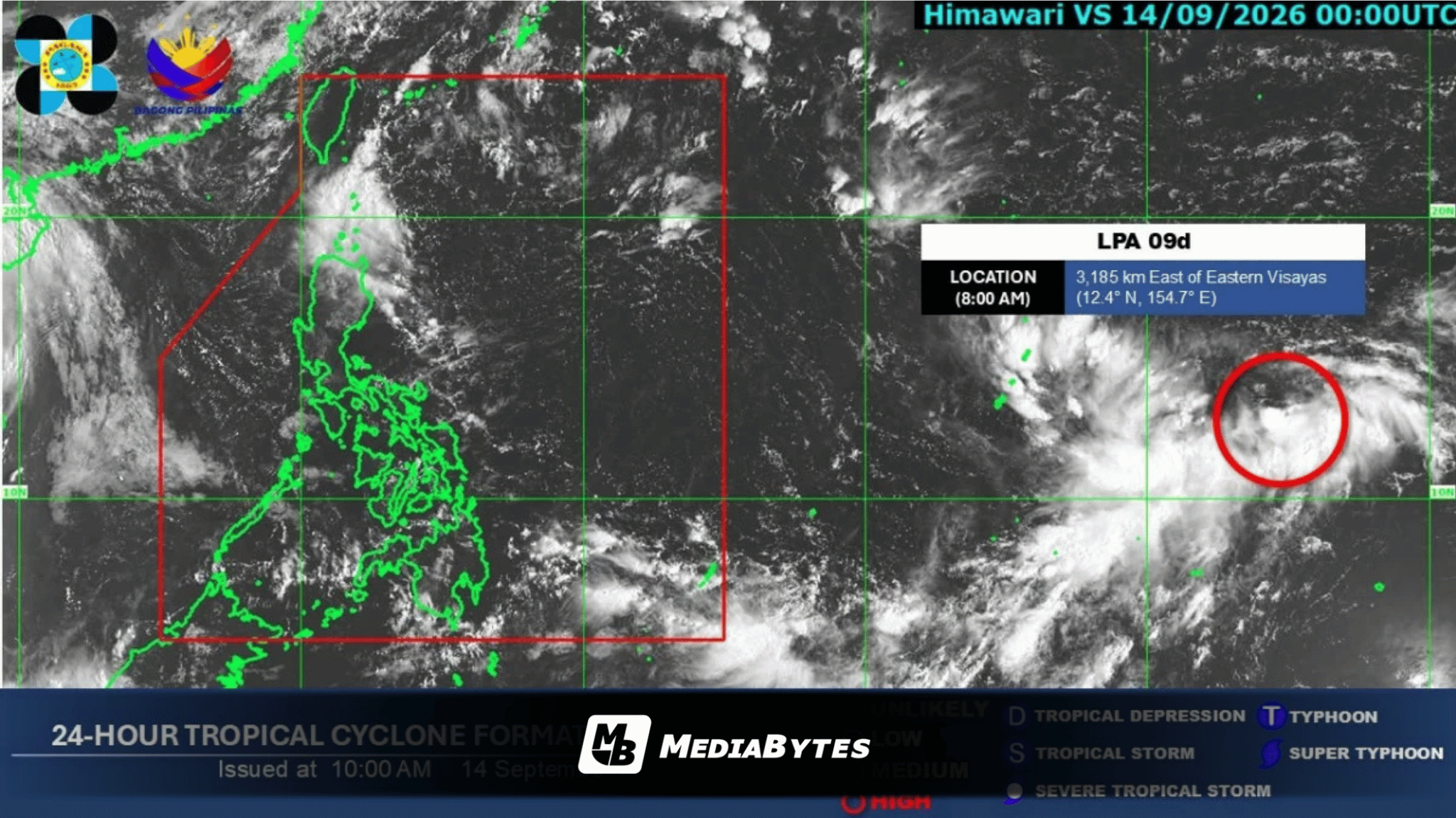
A temporary monsoon break is expected to bring generally favorable weather conditions across the Philippines on Monday, September 14, though localized thunderstorms remain possible during the afternoon or evening, according to the state weather bureau.
PAGASA weather specialist Aldczar Aurelio explained that a tropical depression near China has drawn the southwest monsoon, locally known as habagat, away from the Philippine archipelago. As a result, easterlies—warm winds originating from the Pacific Ocean—will prevail as the primary weather driver, particularly affecting extreme Northern Luzon.
Additionally, a low-pressure area situated 3,230 kilometers east of Eastern Visayas remains outside the Philippine Area of Responsibility and currently poses no direct threat to the country.
“Inaasahan natin na magiging maganda at maaliwalas na panahon sa Luzon ganun din sa Visayas at Mindanao ngayong araw,” Aurelio noted.
Despite the prevailing clear skies, the weather agency advised the public to stay alert for isolated severe thunderstorms that could trigger localized flash floods or landslides.
Meanwhile, coastal waters remain calm with no gale warnings currently raised anywhere in the country.
“Walang gale warning, ibig sabihin wala tayong inaasahang matataas na alon sa karagatan kaya safe po pumalaot ang ating mga kababayan sa buong kapuluan,” Aurelio added.