

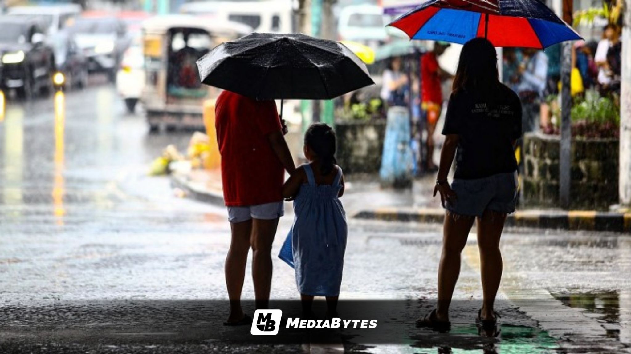
The state weather bureau cautioned the public on Sunday, May 24, against potential flash floods and landslides in Mindanao, Eastern Visayas, and Palawan as the trough of an offshore low-pressure area (LPA) dumps rains across these regions.
While the previous LPA inside the Philippine Area of Responsibility (PAR) has already dissipated, a new weather disturbance located 2,170 kilometers east of Southern Mindanao is currently driving the inclement weather, according to PAGASA weather specialist Veronica Torres.
“Etong low-pressure area na ito, nananatiling mababa ang tsansa na maging isang ganap na bagyo in the next 24 to 48 hours,” Torres said in a morning forecast.
This low-pressure area maintains a low chance of developing into a full-blown tropical cyclone within the next 24 to 48 hours.
Even though the LPA is unlikely to intensify into a typhoon anytime soon, its extension or trough is actively bringing heavy rainfall to Palawan, Southern Leyte, Eastern Samar, and the entirety of Mindanao.
Torres warned residents in these areas—especially those heavily saturated by consecutive days of rain—to remain vigilant.
“Kaya ingat lalo na sa mga inuulan noong mga nakaraang araw pa sa mga banta ng pagbaha o hindi kaya pagguho ng lupa,” she added.
So please be careful, especially those experiencing rain over the past few days, against the threats of flooding or landslides.
Three-Day Weather Outlook
The tail-end of the LPA’s trough will dictate rainfall distribution across the country over the next few days:
- Monday, May 25: Continuous rains will persist over Palawan, Mindanao, Southern Leyte, and Eastern Samar.
- Tuesday, May 26: Rain showers will begin to recede, narrowing down to southern Palawan and primarily concentrating across Mindanao.
- Wednesday, May 27: Wet weather will mostly prevail over the western sections of Mindanao.
In contrast, Metro Manila and the rest of Luzon will experience fairer weather, characterized by partly cloudy to cloudy skies, though isolated afternoon or evening thunderstorms remain likely.
The rest of the Visayas can expect localized thunderstorms, which will be more frequent in southern provinces.
Blistering Heat Persists
Despite the rainfall in the south, severe heat index levels continue to plague Luzon. On Saturday, May 23, Metro Manila sweltered at 43°C, while Sangley Point in Cavite logged the day’s highest heat index at a dangerous 48°C.
For Sunday, the heat index in the capital region is projected to hit between 43°C and 44°C. Meanwhile, scorching conditions peaking at 46°C are expected in Dagupan City (Pangasinan), San Ildefonso (Bulacan), Sangley Point (Cavite), and San Jose (Occidental Mindoro).
PAGASA has not raised any gale warnings, indicating that sea conditions remain safe for small watercraft and fishing vessels to venture out.