


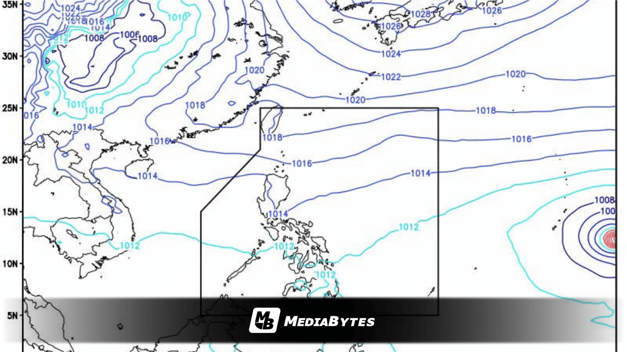
MANILA — A tropical storm currently positioned southeast of Guam is projected to intensify and could breach the Philippine Area of Responsibility (PAR) as a potential super typhoon by Tuesday or Wednesday of next week.
Data from the Japan Meteorological Agency (JMA) indicated that as of 8 a.m. Friday, Tropical Storm Champi was tracked more than 3,100 kilometers east of the Visayas. The storm’s name, contributed by Laos, translates to a red jasmine flower in the Lao language.
At present, Champi packs maximum sustained winds of 85 kilometers per hour with gusts reaching up to 105 kph, while moving westward at a speed of 20 kph.
Meteorological tracking shows that upon crossing into the PAR, the weather system will be assigned the local moniker “Rosal,” marking the country’s first tropical cyclone for October and the 18th overall for the year.
Forecasters note that the developing system has a low probability of making a direct landfall over any part of the country. Current trajectory projections suggest it will curve northwestward over the Philippine Sea, tracking toward Taiwan or the Ryukyu Islands before the conclusion of next week.
Despite staying offshore, the outer trough or extension of the cyclone could still bring adverse weather conditions to the eastern sections of Luzon and Visayas.
Weather authorities advise the public to regularly check updates, noting that the storm’s intensity and path remain subject to change.
Weekend Weather Outlook
Meanwhile, ahead of the cyclone’s anticipated arrival, weather systems are set to bring rainfall across parts of the country this weekend.
According to the Philippine Atmospheric, Geophysical and Astronomical Services Administration (PAGASA), the Intertropical Convergence Zone (ITCZ) and warm easterlies will affect central and southern regions.
The ITCZ—the meeting point for winds originating from the Northern and Southern Hemispheres—will trigger scattered rain showers over Mindanao, the Visayas, MIMAROPA, the Bicol Region, and Quezon on Friday and Saturday. On Sunday, the easterlies will continue to influence weather conditions across these same areas, excluding Mindanao.
State meteorologists also pointed out that the nation is currently transitioning toward the Northeast Monsoon, or Amihan season, which is expected to officially commence between the final week of October and the first week of November.
Climatologists added that a drier and warmer Amihan period is anticipated due to an ongoing very strong El Niño event projected to peak in December.
Consequently, the country can expect fewer but considerably more intense tropical cyclones within the PAR during the final quarter of the year.